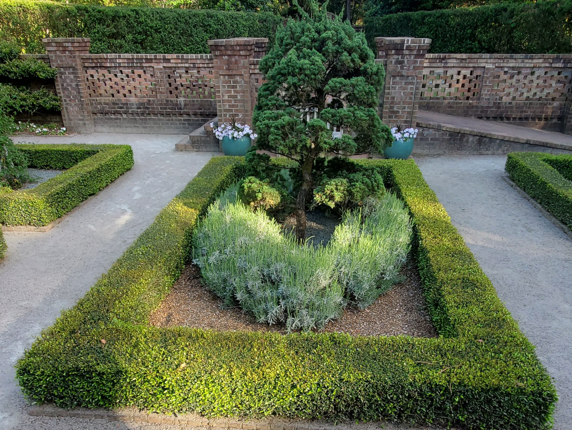
Considered part of the Charlotte metropolitan area, Rowan County was formed in 1753 as part of the British Province of North Carolina. It was originally a vast territory with unlimited western boundaries, but its size was reduced to 524 square miles after several counties were formed from Rowan County in the 18th and 19th centuries, as population increased in the region. The county seat, Salisbury, is the oldest continuously populated European-American town in Western North Carolina.
The first Europeans to enter what is now Rowan County were members of the Spanish expedition of Juan Pardo in 1567. They established a fort and a mission in the native village of Guatari, believed to be located near the Yadkin River and inhabited by the Wateree. At the time, the area was ruled by a female chief whom the Spaniards called Guatari Mico (Mico was the Wateree’s term for ‘chief’). The Spaniards called the village Salamanca in honor of the city of Salamanca in western Spain, and established a mission, headed by a secular priest named Sebastián Montero.
English colonial settlement of North Carolina came decades later, starting in the coastal areas, where settlers migrated south from Virginia. Explorers and fur traders were the first to reach the Piedmont, paving the way for eventual settlers. Rowan County was formed in 1753 from the northern part of Anson County. It was named for Matthew Rowan, acting governor of North Carolina from 1753 to 1754.
A house several miles west of present-day Salisbury in “the Irish settlement” served as the first courthouse starting June 15, 1753. Daniel Boone’s father Squire Boone served as one of the first magistrates. By mid-1754 a new courthouse site was selected near “the place where the Old Waggon Road (crosses) over Grant’s Creek.”
As was typical of the time, Rowan County was originally a vast territory with an indefinite western boundary. As the population increased in the region, portions were taken to organize other counties and their seats. In 1770, the eastern portion was combined with the western part of Orange County to form Guilford County. In 1771 the northeastern portion of what was left became Surry County. In 1777 the western part of Rowan County was organized as Burke County.
After the American Revolutionary War, in 1788, the western portion of the now much smaller Rowan County was organized as Iredell County. In 1822, Davidson County was formed from an eastern section. Finally, in 1836, that part of Rowan County north of the South Yadkin River became Davie County, and Rowan County took its present form and size.
Once a center of textile manufacturing in the 19th to late 20th centuries, Rowan County was developed for tobacco, cotton cultivation, and mixed farming in the antebellum period. Many plantation owners and farmers were dependent on enslaved labor. Cotton and tobacco continued as a commodity crop after the war and into the 20th century. The population of Rowan County was 27.1 percent slaves in 1860.
During and following Reconstruction, the state legislature encouraged investment in railways, which had not occurred before. In addition, textile mills were built here and elsewhere in the Piedmont, bringing back cotton processing and manufacturing from centers in New York and New England. Urban populations increased.
At the turn of the 20th century, after losing to Republican-Populist fusionist candidates, then Democrat Party regained power and passed laws erecting barriers to voter registration in order to disenfranchise most Blacks. Together with the passage of Jim Crow laws, which suppressed Blacks socially, these measures ended the progress of African Americans in the state, after Republican men had already been serving in Congress. Six lynchings of African Americans were recorded in Rowan County from the late 19th into the early 20th centuries. This was the second-highest total of killings in the state.
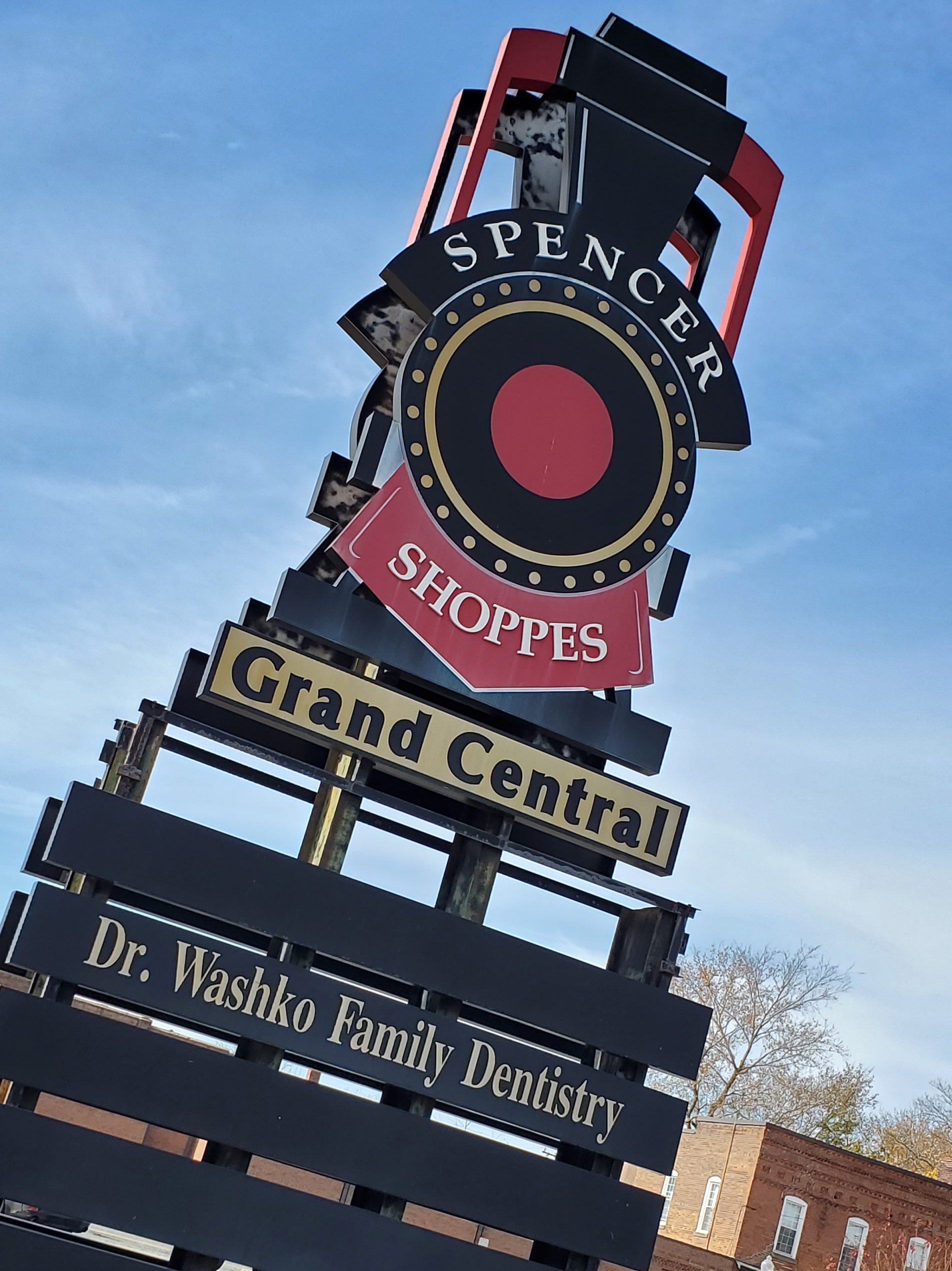
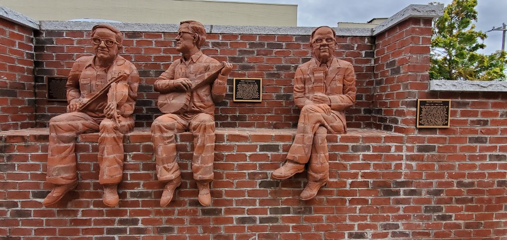
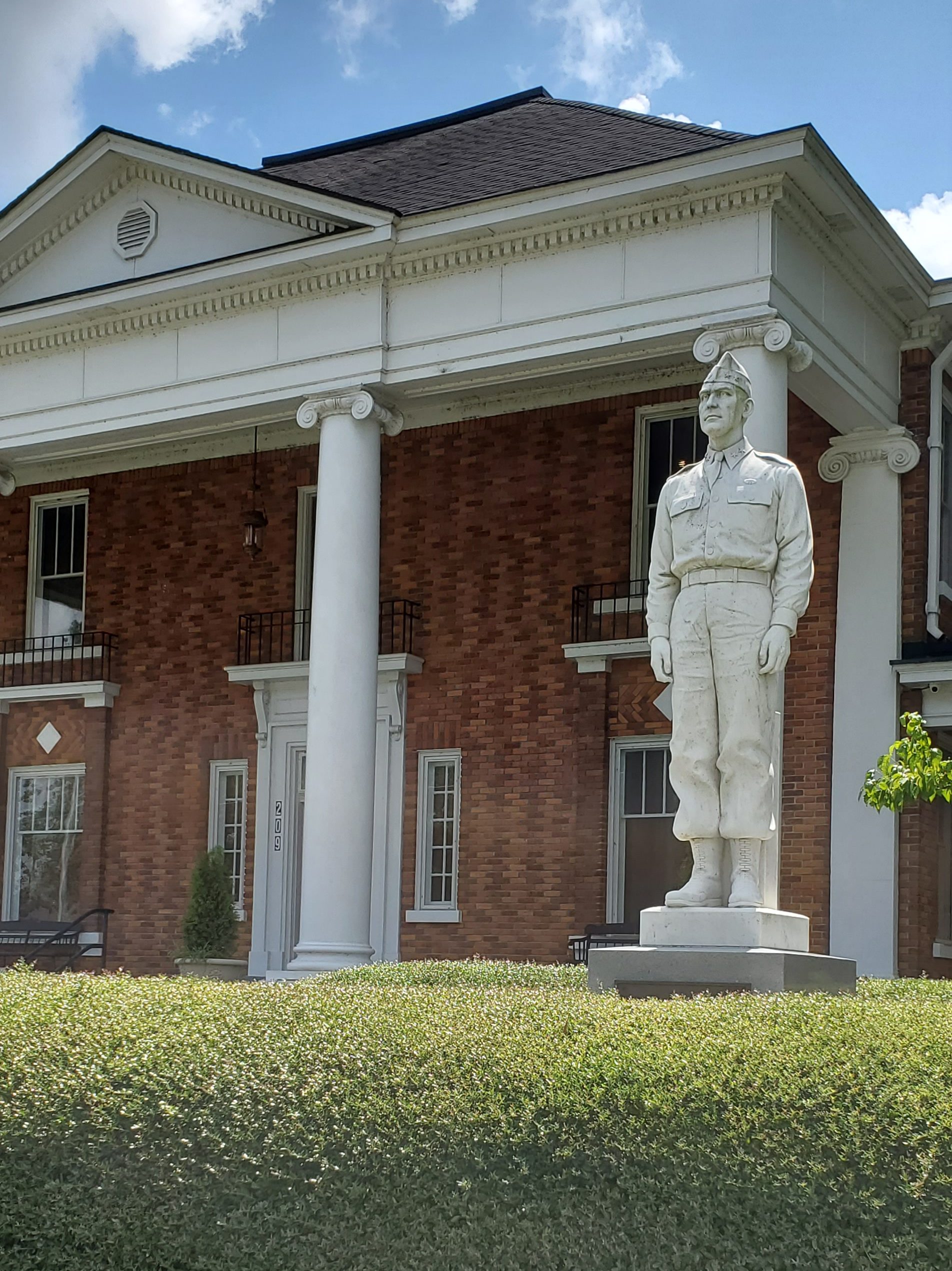
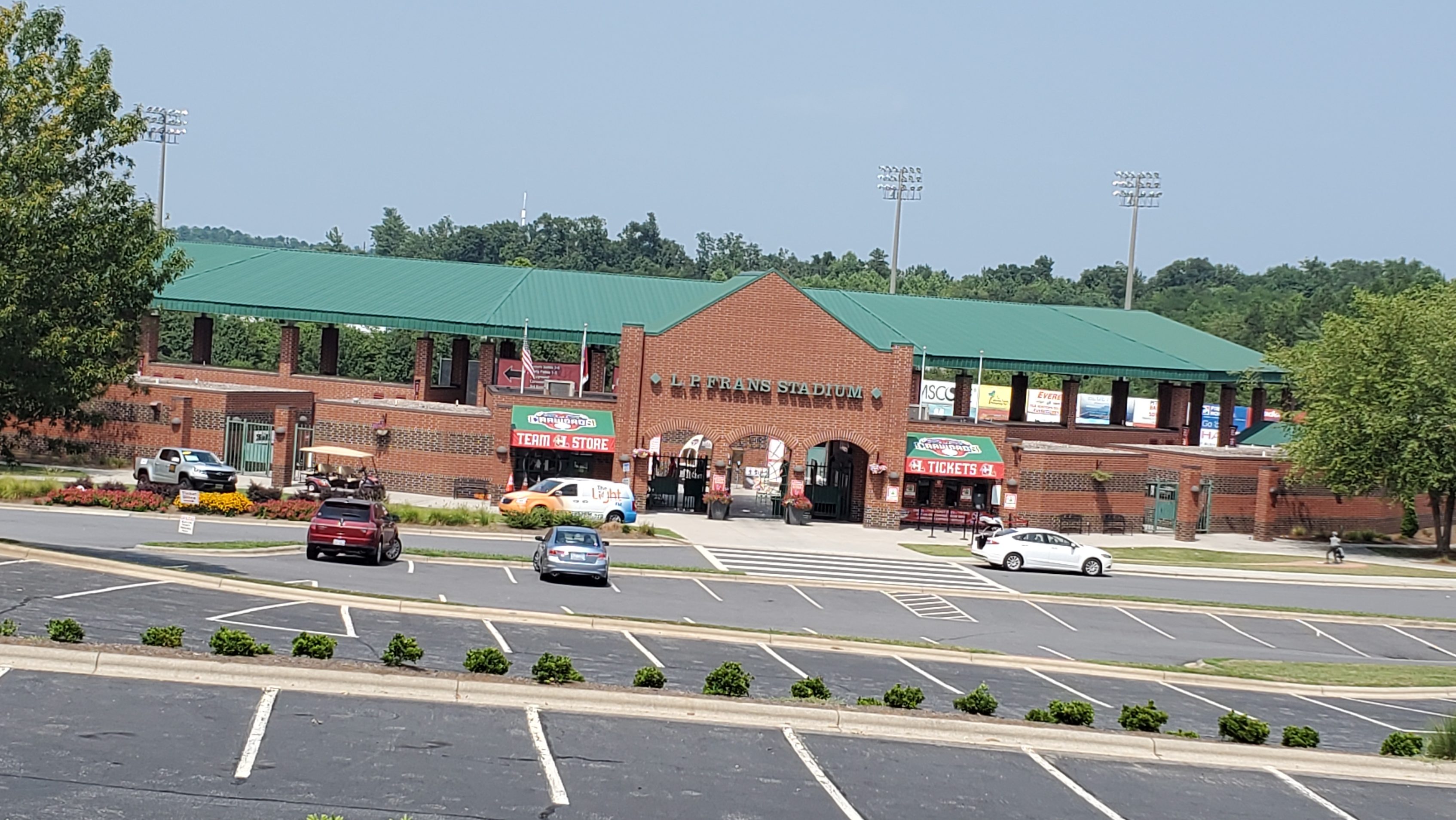
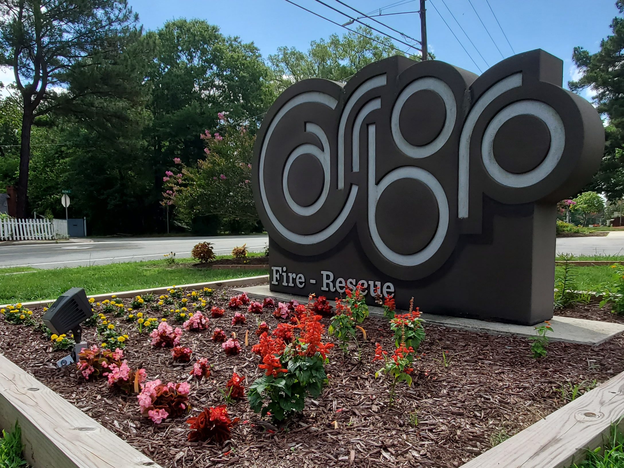
Spencer, NC
The town of Spencer was named for Samuel Spencer, first president of the Southern Railway, who is credited with establishment of the railroad’s mechanical shops at the site in 1896. The site was approximately the midpoint of the railroad’s mainline between Atlanta, GA, and Washington, DC, and was a key hub in the golden age of rail travel. As shops were built, the Southern Railway developed a town, also named Spencer, alongside the shops for worker housing. Initially, the Southern partitioned 85 acres into 500 lots. Instead of creating a traditional “company” town in which the workers rented houses, Southern sold the lots to workers or businesses for $100 each. The deeds contained restrictive covenants, which maintained that a dwelling costing in excess of $400 and approved by a Southern appointed architect be built within a year. Southern also donated lots for religious institutions and helped establish a YMCA in the town.
The former Spencer Shops were phased out during the 1950s through 1970s and have now become the location of the North Carolina Transportation Museum. The Alexander Long House, Southern Railway’s Spencer Shops, and Spencer Historic District are listed on the National Register of Historic Places.
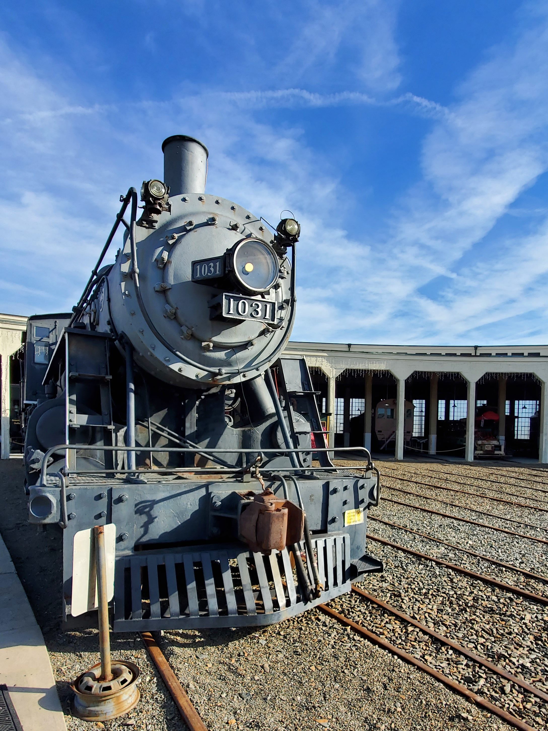
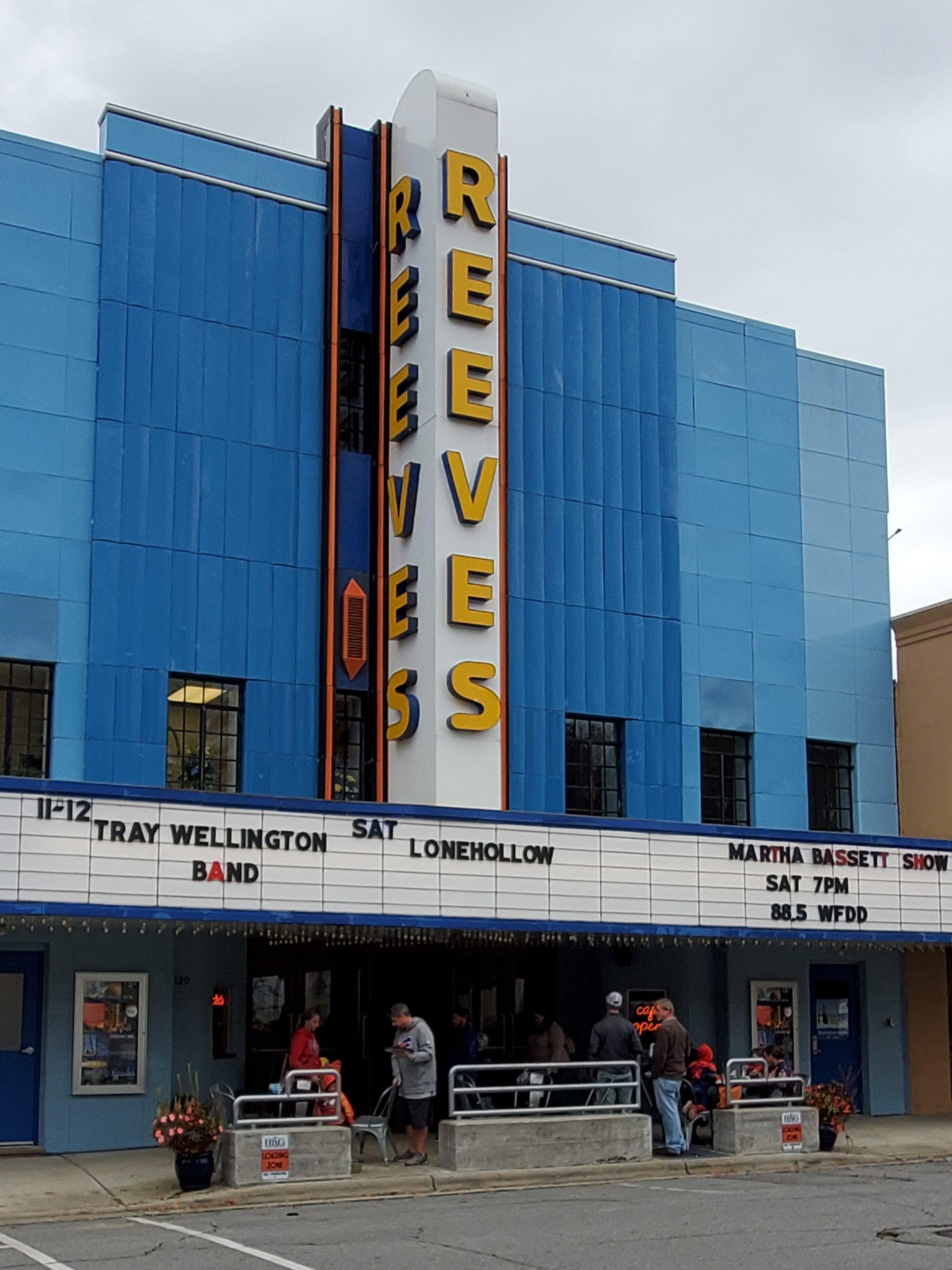
North Carolina Transportation Museum
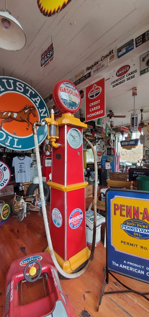
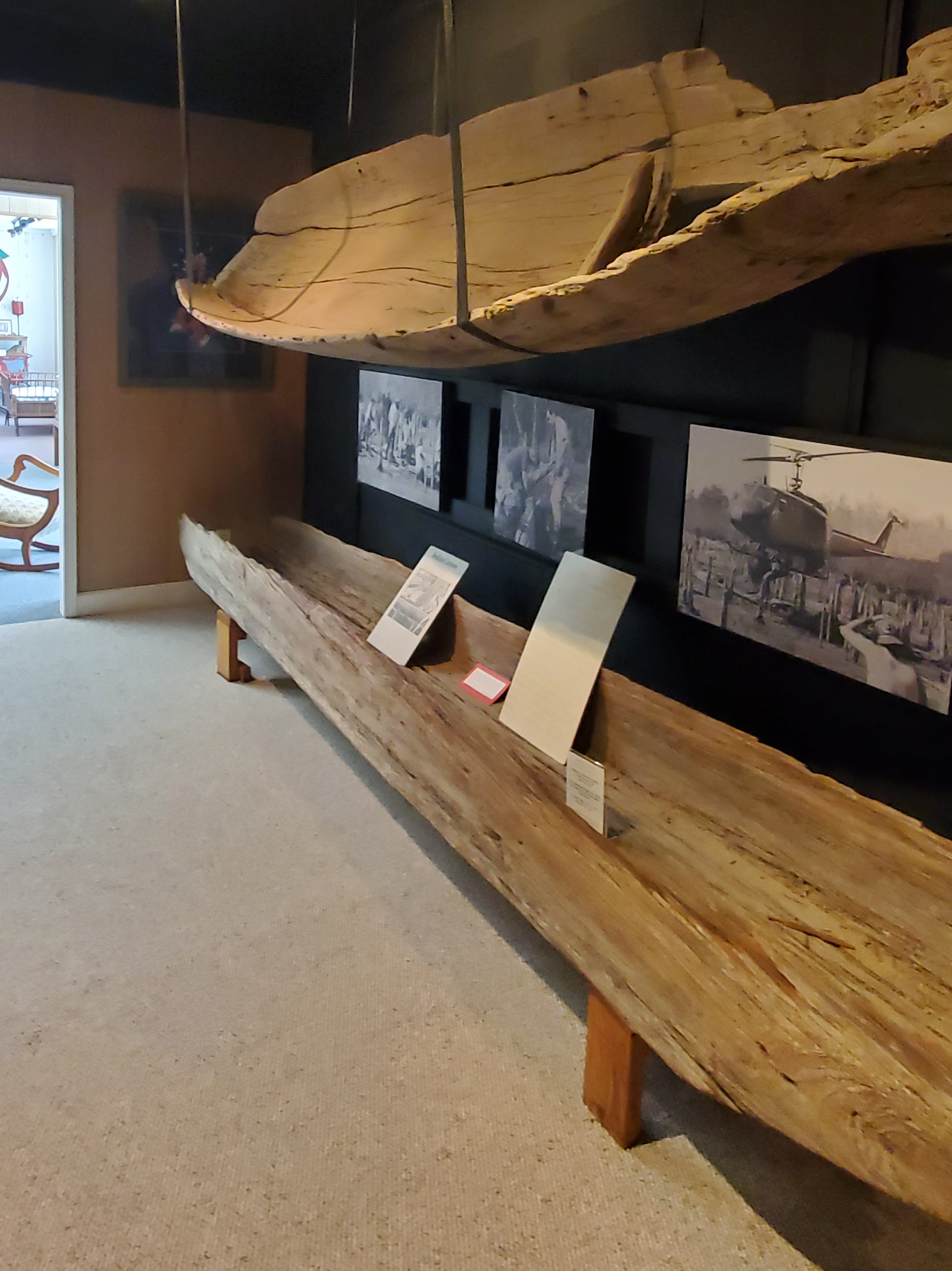
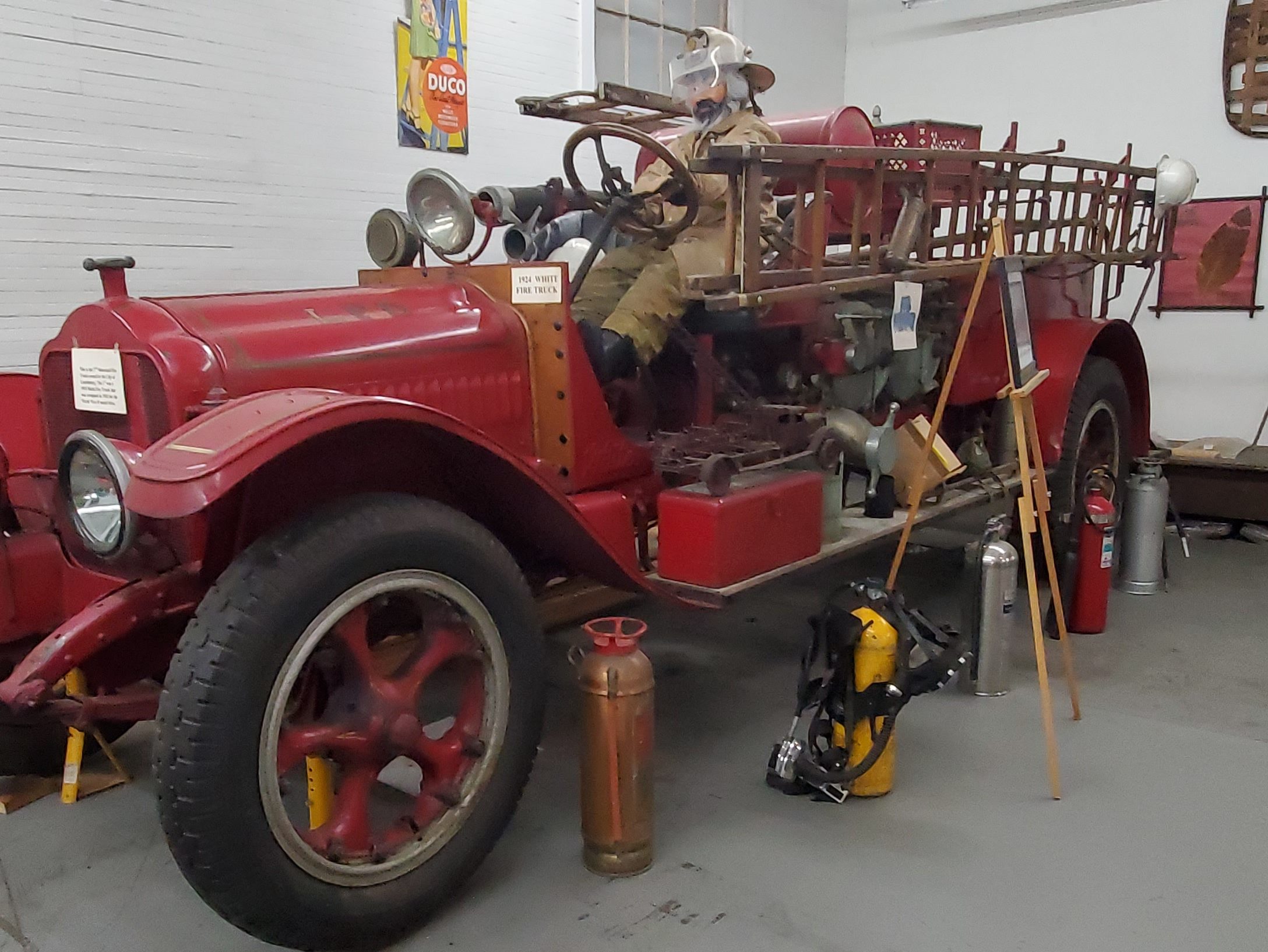
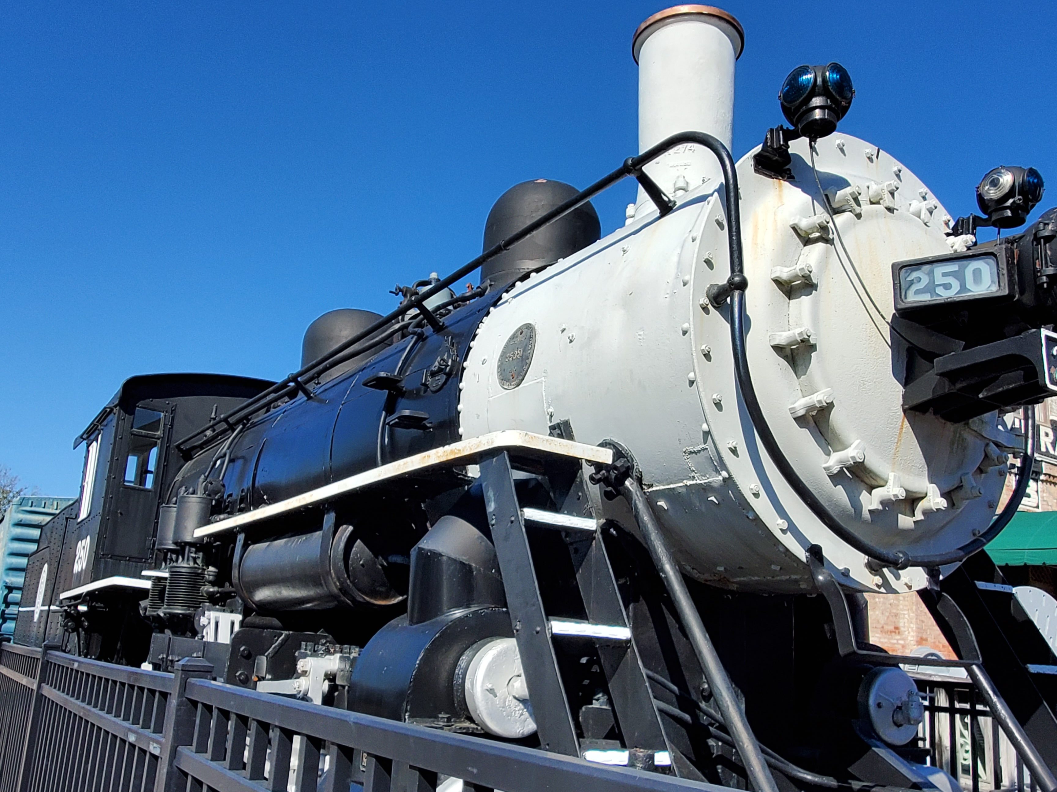
The day started at the North Carolina Transportation Museum (411 South Salisbury Avenue). Stop at the ticket office then tour the building, grounds, and roundhouse. Discover the people and machines that have moved NC, including rail, aviation, and naval. Here you’ll find several buildings, a 1924 37-stall roundhouse with a 100-foot turntable, and a gift shop. See how train cars can be hauled into the Back Shop on elevated rails that expose the rail cars’ undersides for repair and maintenance. Train rides are available year round. The Museum also holds an annual Polar Express event during the holidays. Memberships and volunteer opportunities are available.
NC Museum of Dolls, Toys & Miniatures
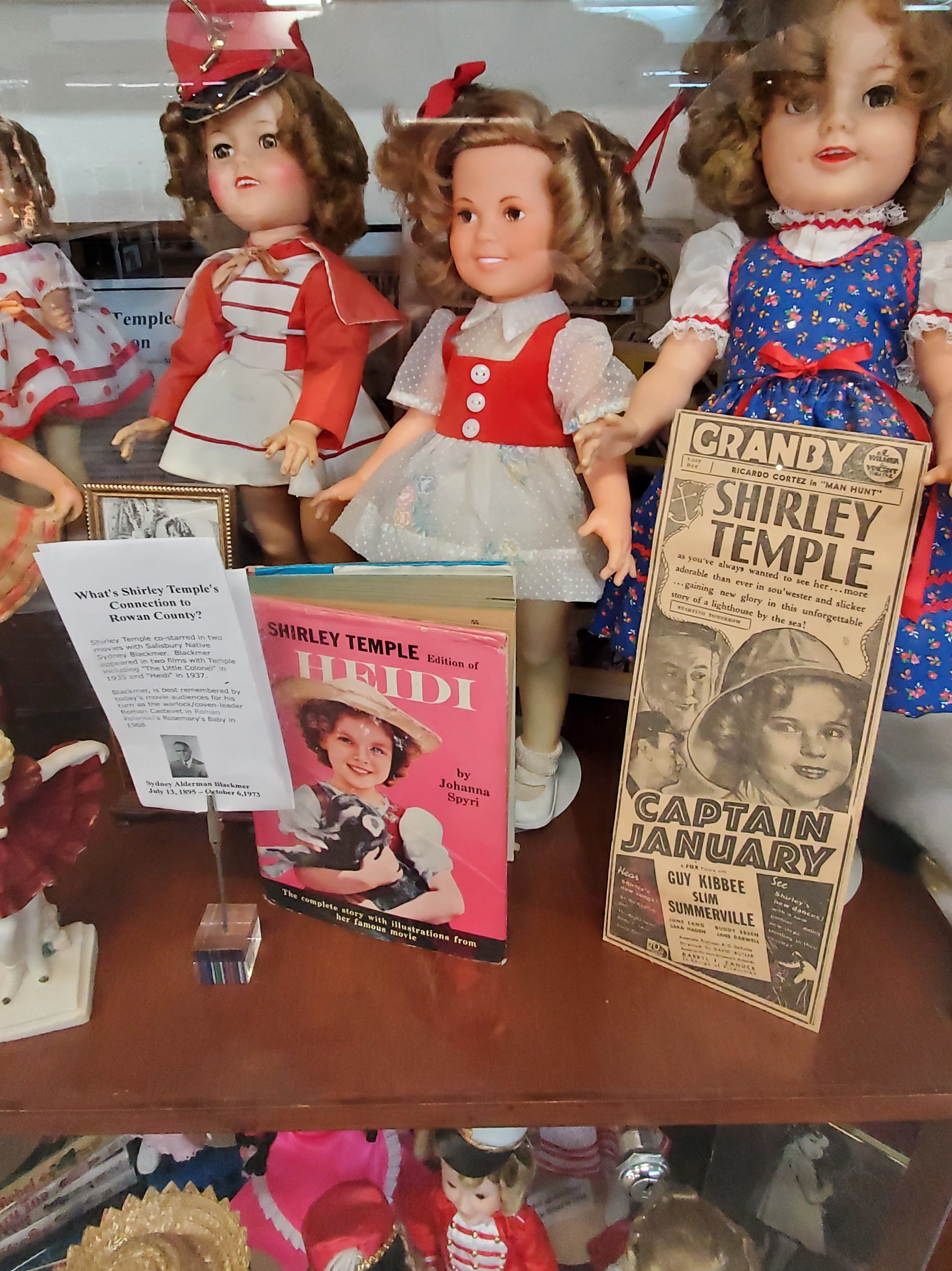
Just around the corner from the NC Transportation Museum, you’ll find the NC Museum of Dolls, Toys & Miniatures (108 4th St.), which includes 4,000 square feet of exhibits, including Shirley Temple dolls, Girl Scout dolls, a large operating model train railroad, model airplanes, the largest Schoenhut collection on the East Coast, and much more. Tours are available as well as school and scout programs.

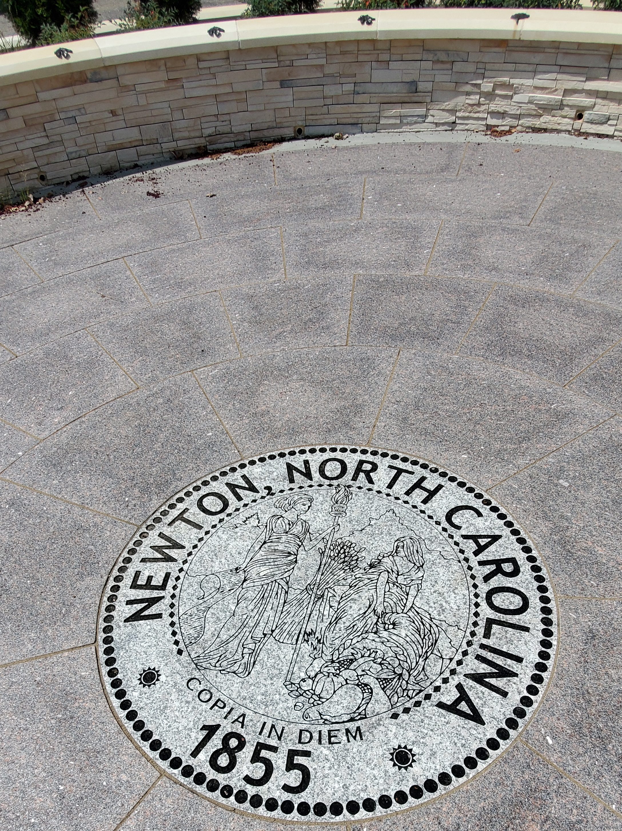
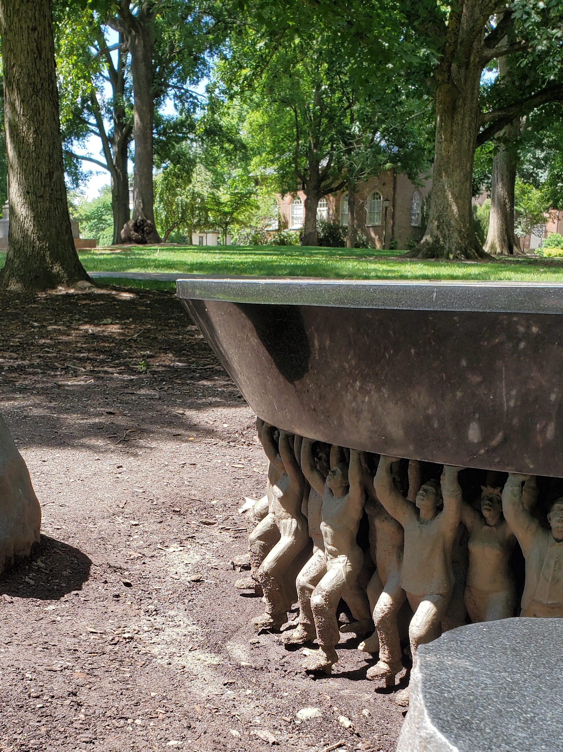
Salisbury, NC
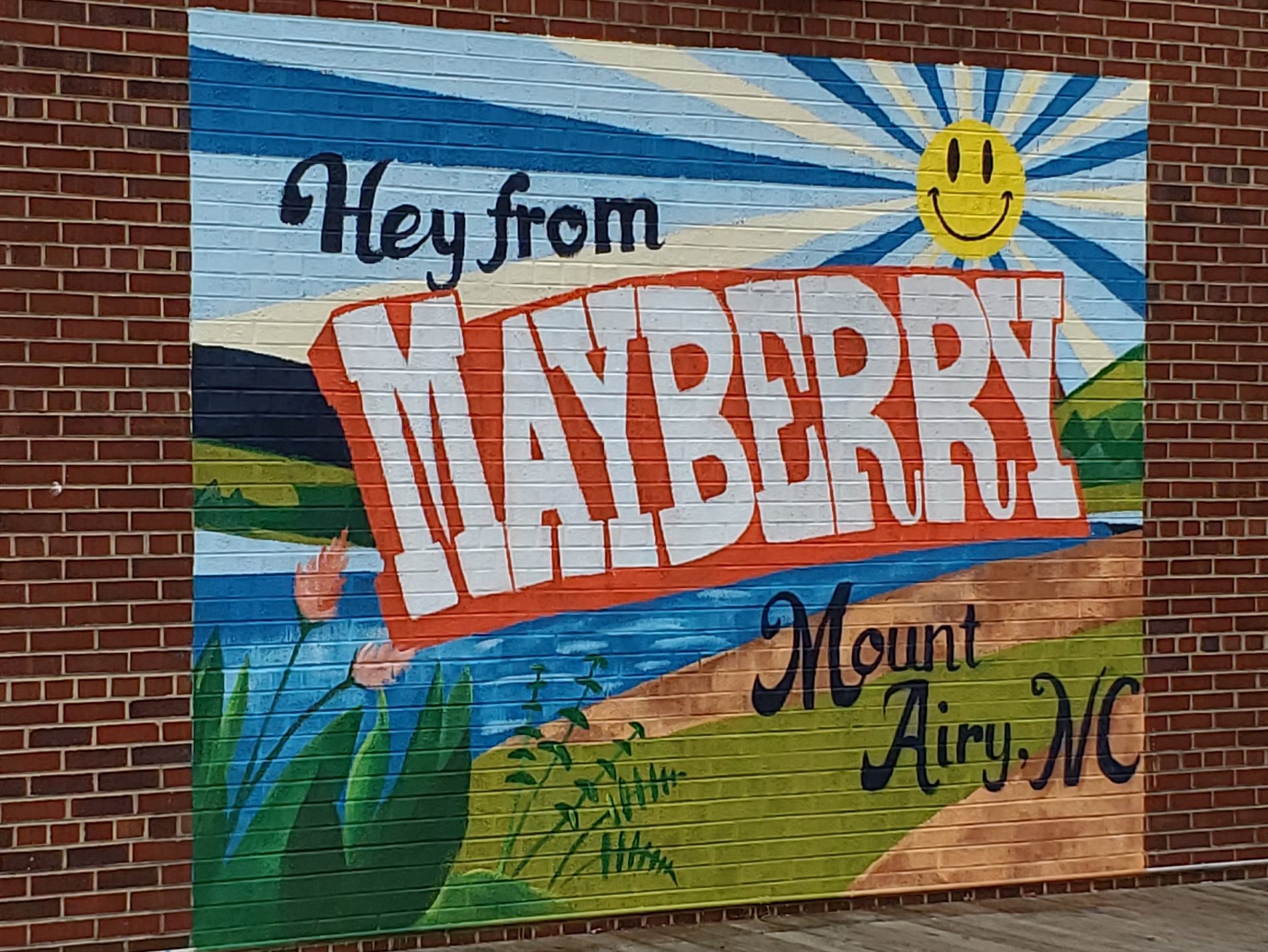
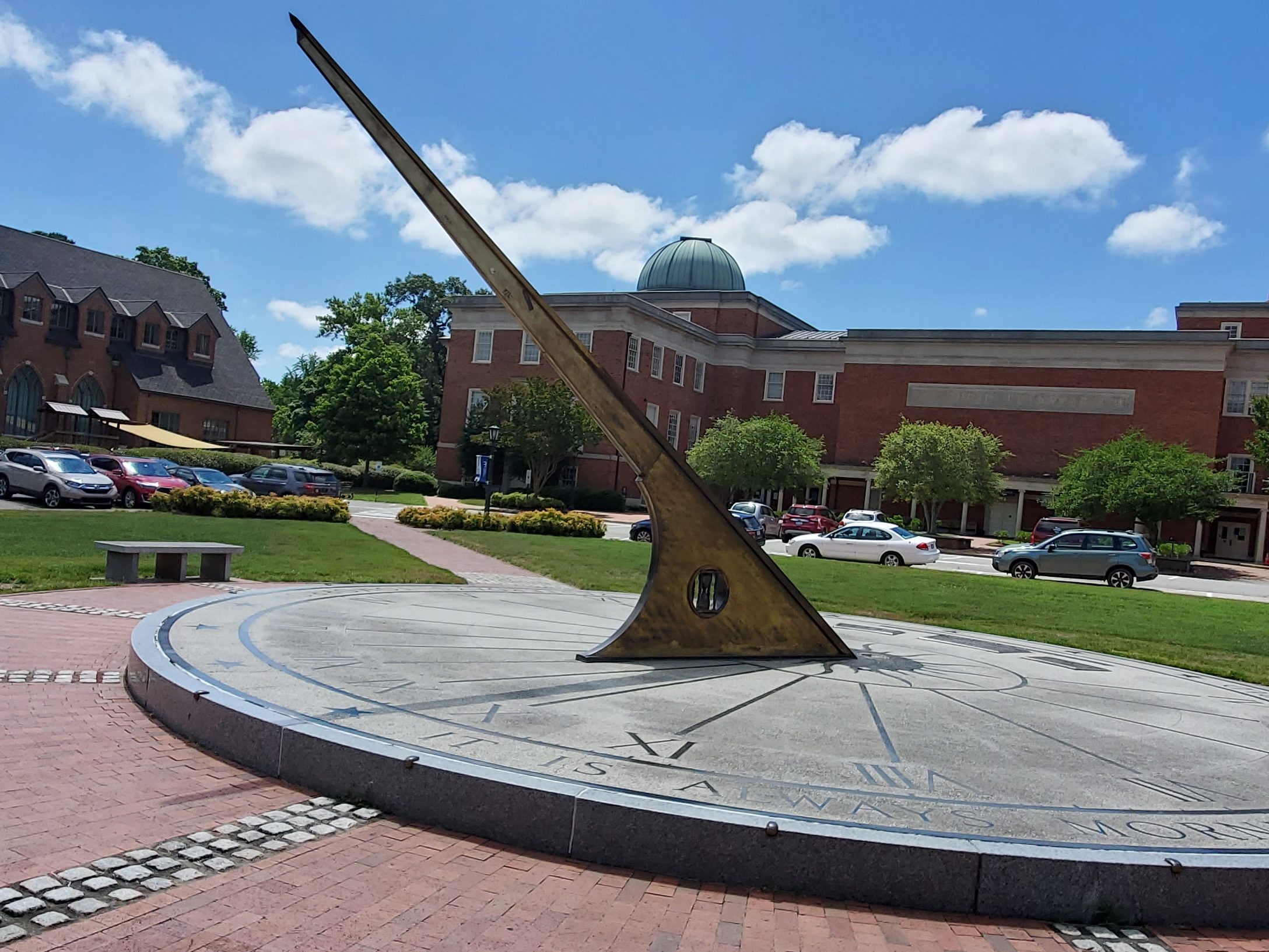
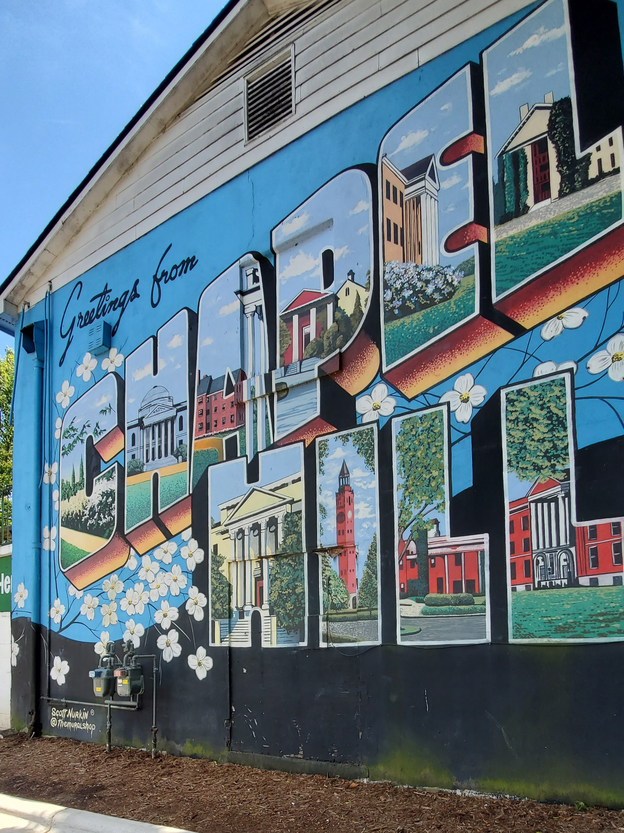
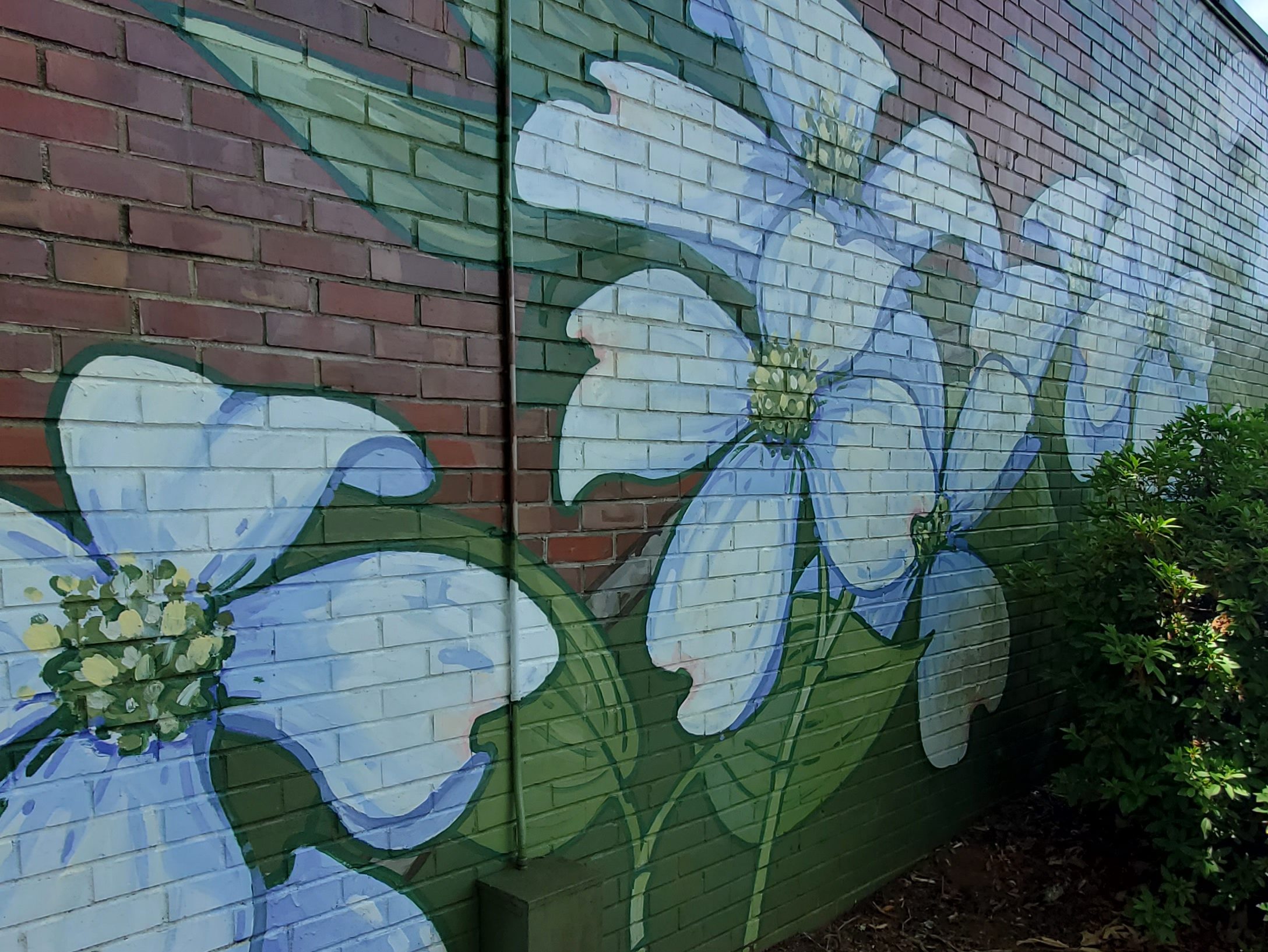
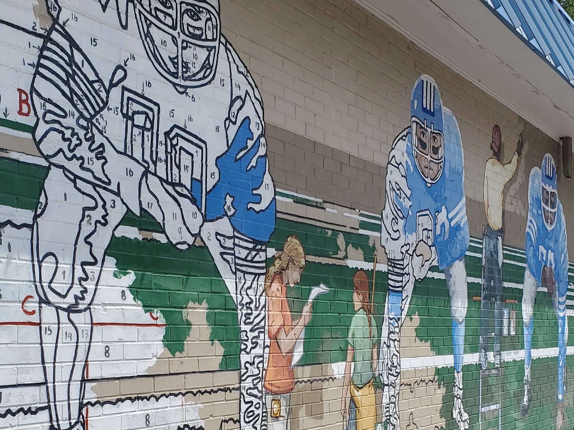
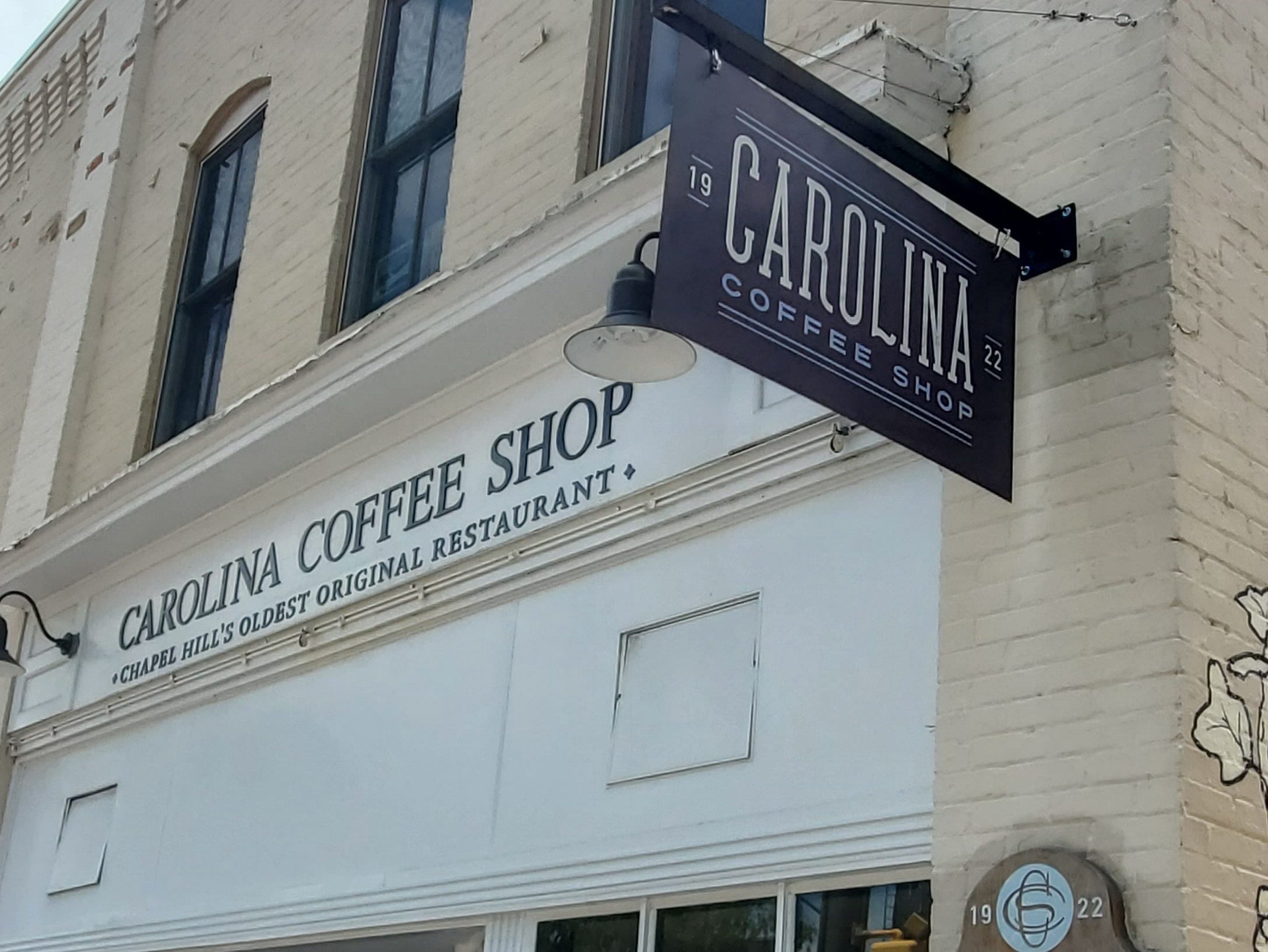
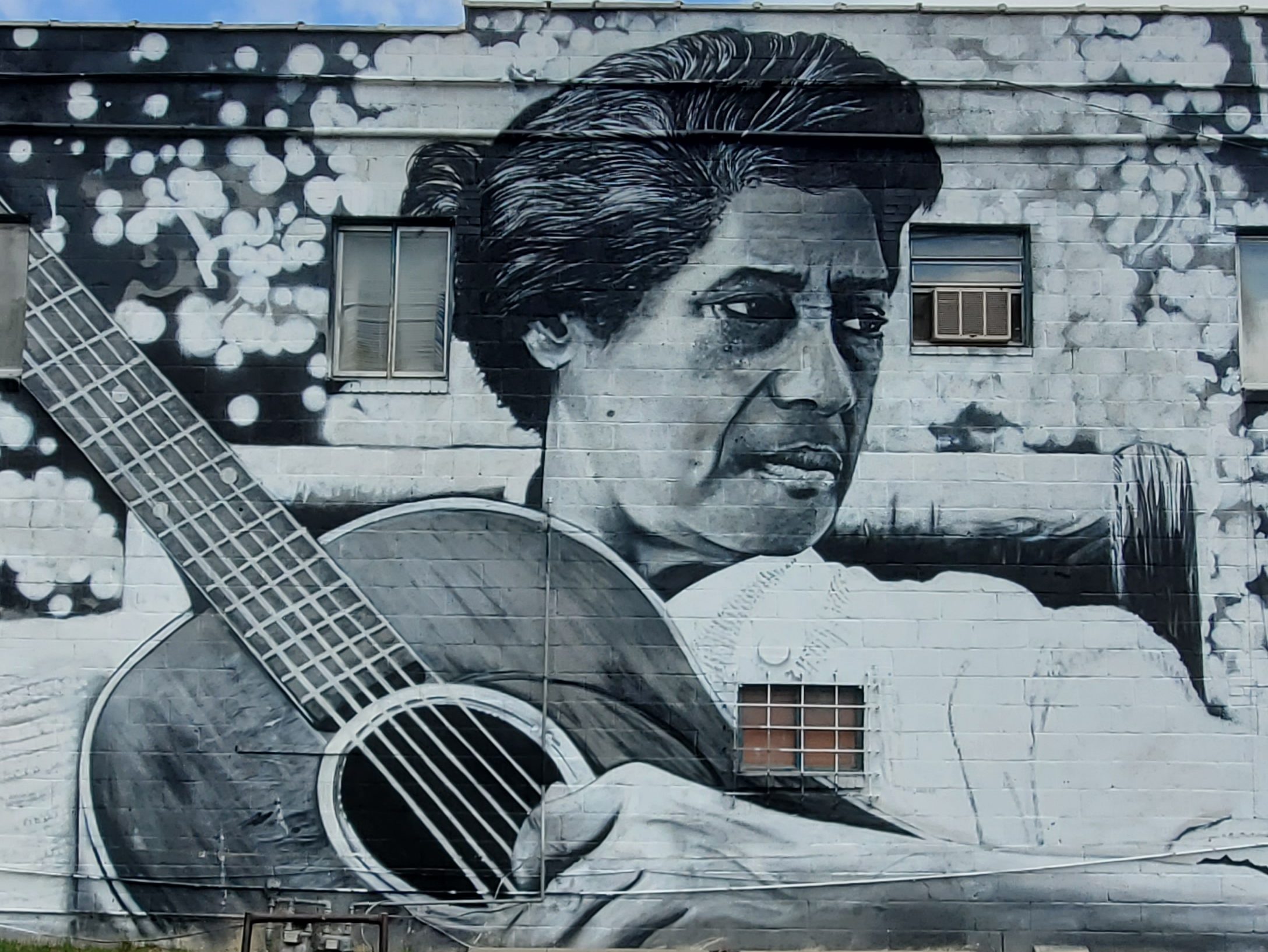
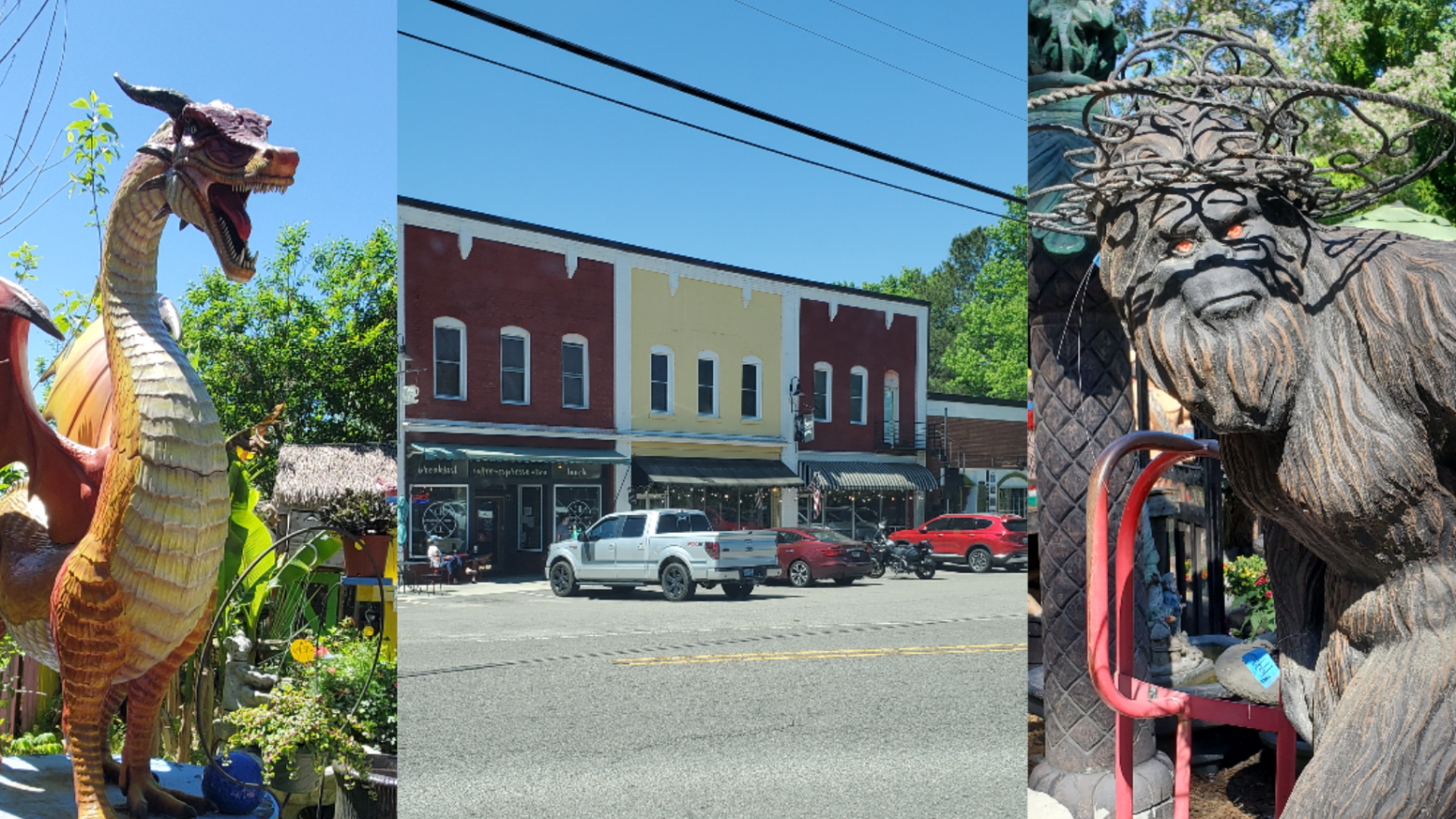
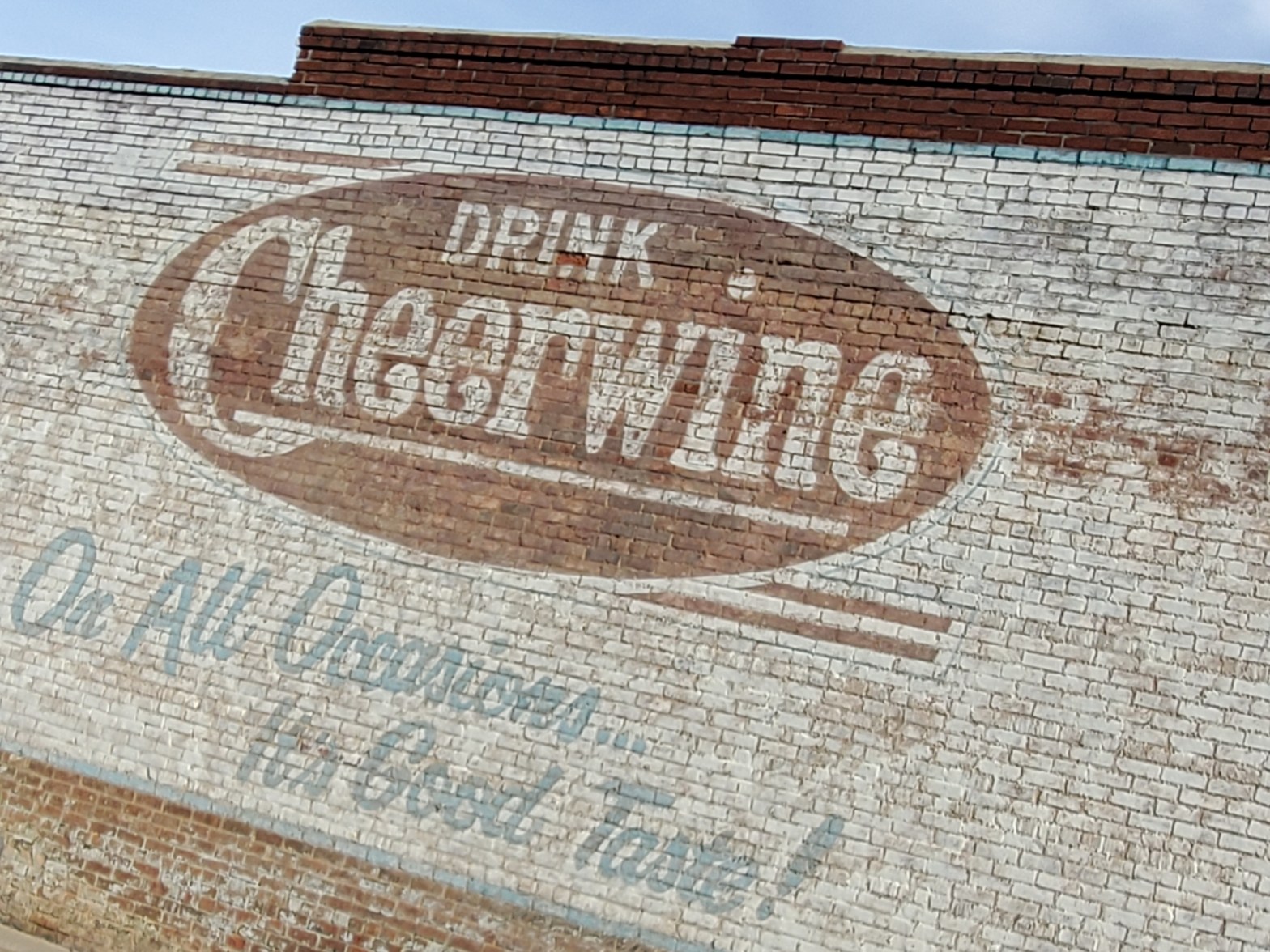
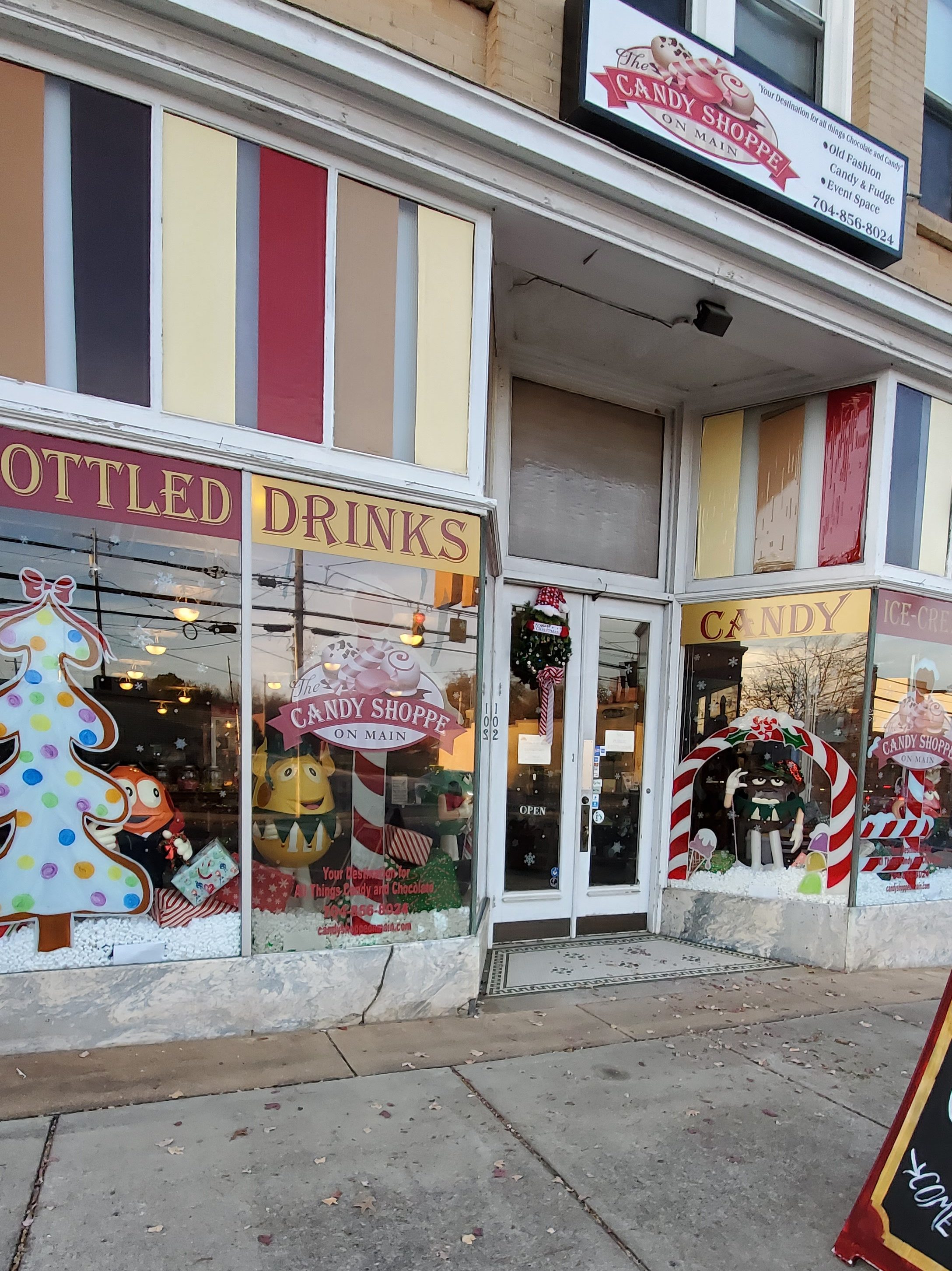
As the county seat of Rowan County since 1753 when its territory extended to the Mississippi River, Salisbury is the oldest continually populated colonial town in the western region of North Carolina. It is noted for its historic preservation, with five Local Historic Districts and 10 National Register Historic Districts, as well as the site of a noted prisoner of war camp during the American Civil War. Soft drink producer Cheerwine and regional supermarket Food Lion are headquartered in Salisbury, and Rack Room Shoes was also founded there. You’ll see Cheerwine in just about every restaurant–and even a few wall murals throughout the city.
The original settlement of Salisbury was built at the intersection of longtime Native American trading routes. It became an economic hub along what was improved as the Great Wagon Road in North Carolina. On June 12, 1792, Salisbury was granted a US Post Office, which has been in continuous operation ever since.
In the antebellum period and after the American Civil War, Salisbury was the trading city of an upland area devoted to cultivation of cotton as a commodity crop. It was also the business and law center of the county. Numerous houses and other structures were built by wealthy planters and merchants in this period. In the late 19th century, the city was served by railroads, becoming a railroad hub as people and freight were transported along the eastern corridor.
In the 20th century, Salisbury’s economy grew into an industrial-based economy. Entrepreneurs developed the textile industry for processing cotton, first, and numerous textile mills operated in the city. Industry owners moved jobs and mills offshore in the late 20th century to areas with cheaper labor costs. This change cost the city and area many jobs.
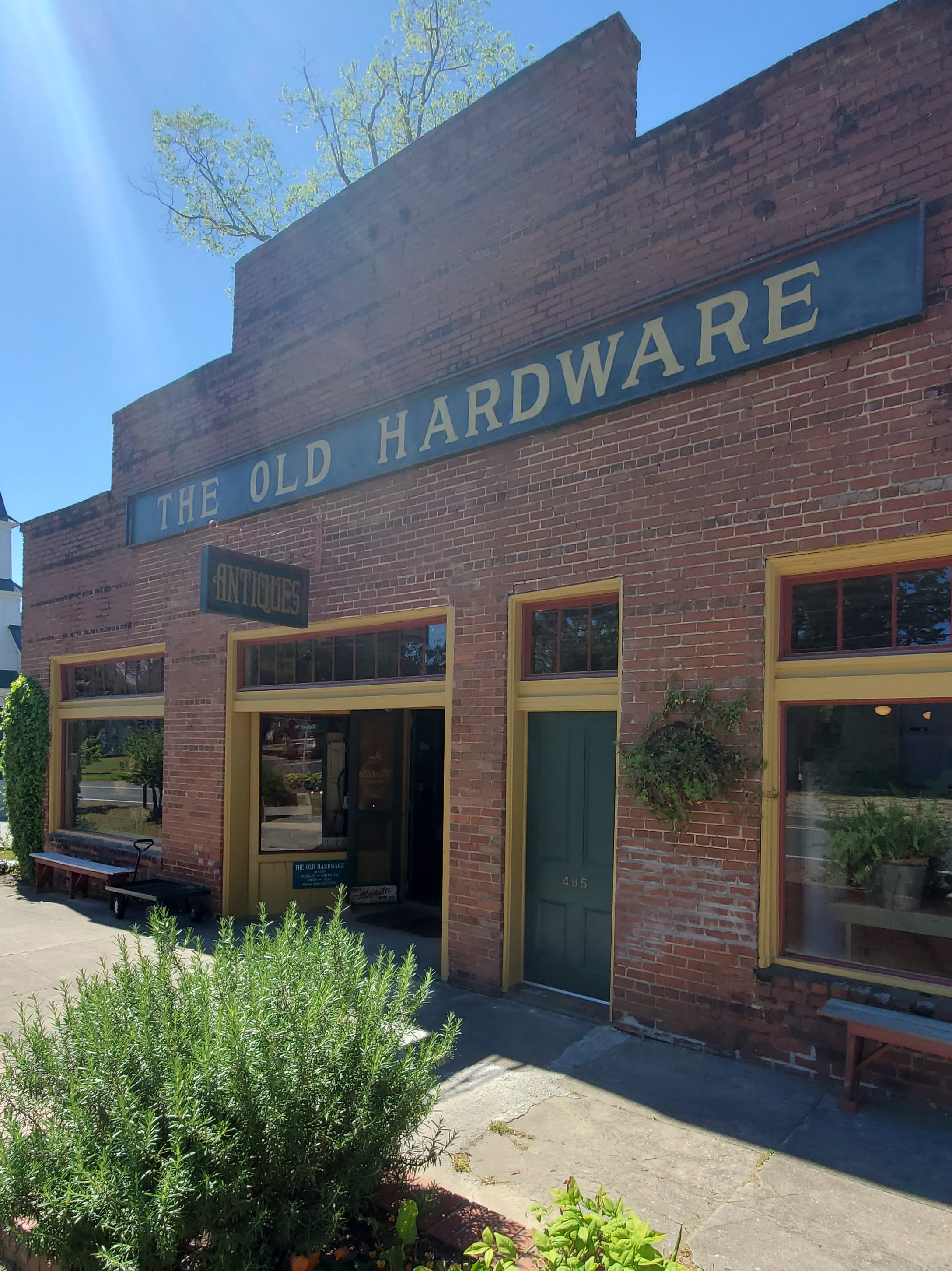
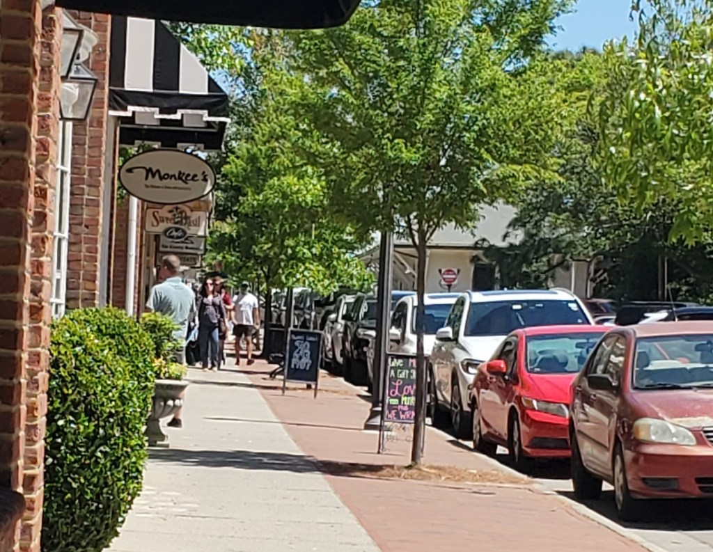
Salisbury is now home to a downtown area that encompasses several blocks near the intersection of Innes Street and Main Street, including unique, locally owned businesses and merchants. Downtown Salisbury provides an array of shops, antique stores, and cultural attractions. Downtown Nights Out, held from time to time throughout the year, provide opportunities for late night shopping, musical entertainment, and fine dining.
A walking tour begins at the Rowan County Convention and Visitor’s Bureau and winds through the history of Salisbury and the state’s Piedmont Region. Structures from the 19th century, as well as artifacts, such as the desk that President Andrew Jackson used when he studied law in Salisbury, are viewable. The Salisbury History and Art Trail is made up of a series of markers throughout the city that incorporate both history and art for self-guided tours.
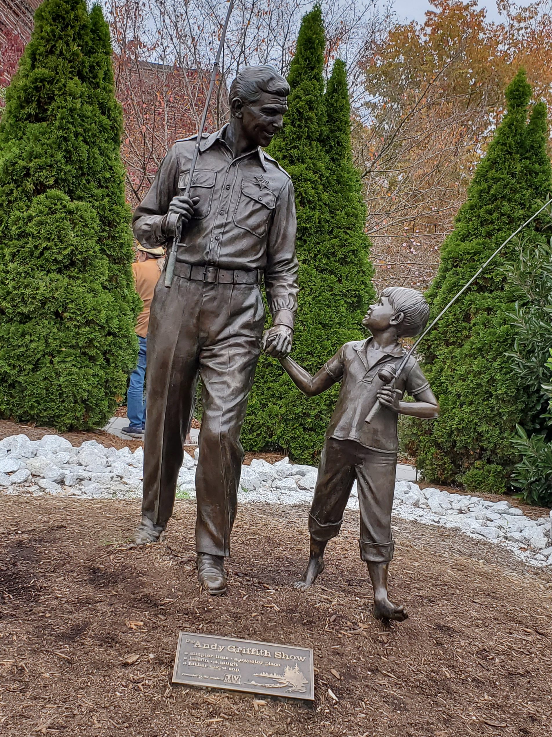
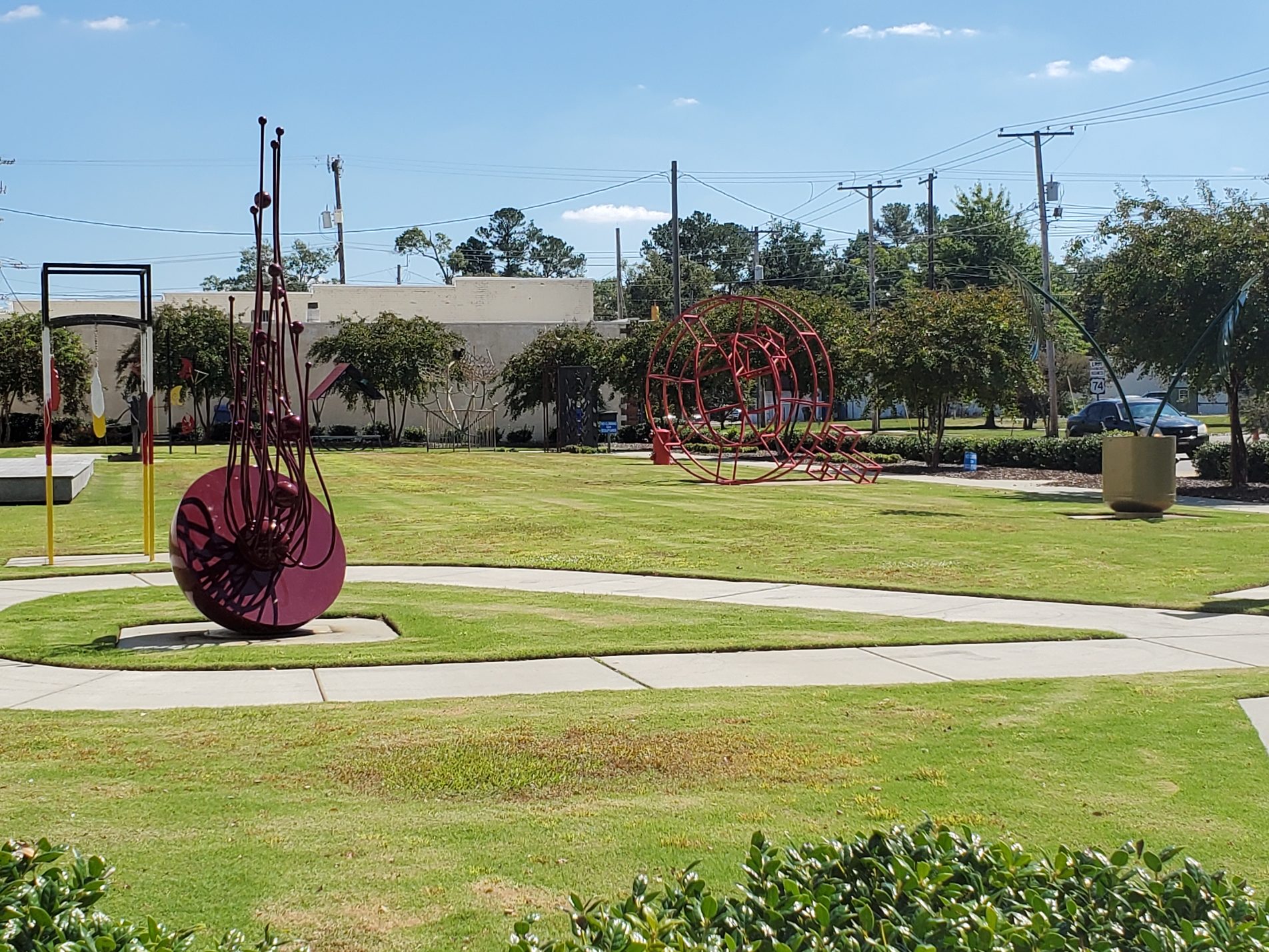
Salisbury has one sister city, as designated by Sister Cities International: Salisbury, Wiltshire, England, UK, and former President Andrew Jackson is from here. Today, Salisbury is an eclectic combination of new world modern and classic, old-world styles, replete with a bounty of public art sculptures and wall murals located throughout the community.

Grievous Gallery
Perhaps one of the newest and possibly eyebrow raising attractions in Salisbury is the Grievous Gallery (111 W Bank St.), where you can purchase glass and ceramic dishware and bottles, write your grievances on the items, then smash them against a wall. The attraction is only open on a limited scheduled, evenings and nights.

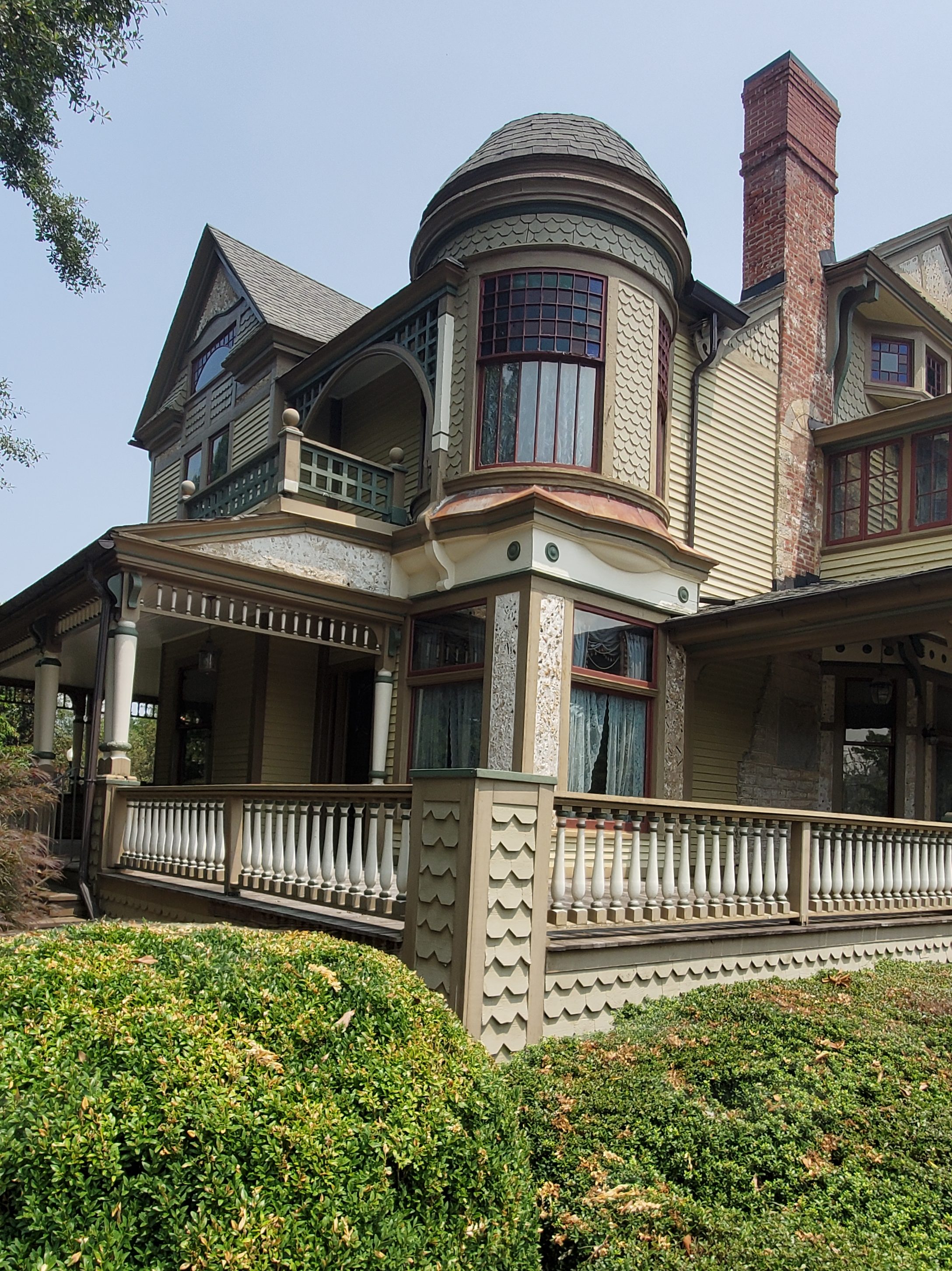
Rowan Museum
A non-profit museum devoted to the preservation and presentation of Rowan County, peruse through North Carolina’s history through educational programs and exhibits (202 North Main St.). The Rowan Museum has exhibits that incorporate the use of three buildings: Salisbury’s 1854 County Courthouse (which survived Stoneman’s Raid), the circa 1815 Utzman–Chambers House Museum (built by cabinet maker Louis Utzman), and the 1820 Josephus Hall House.
Off site properties include the Old Stone House and China Grove Roller Mill (details later).

Railwalk Studios and Gallery
Established in 2006, Railwalk Studios and Gallery (409-413 N Lee St.) is a group of art studios and a shared art gallery in the Railwalk Arts District of historic Salisbury. They are located in a former 6,000 square-foot grocery warehouse built in the early 1900s along an old railroad spur. The artists of Rail Walk Studios & Gallery each lease studio space from building owners, Rowan Investment Company. The artists use their space to create art while preserving the historic and artistic nature of the building. On any given day you can stop in, see artists at work, and purchase art as well.
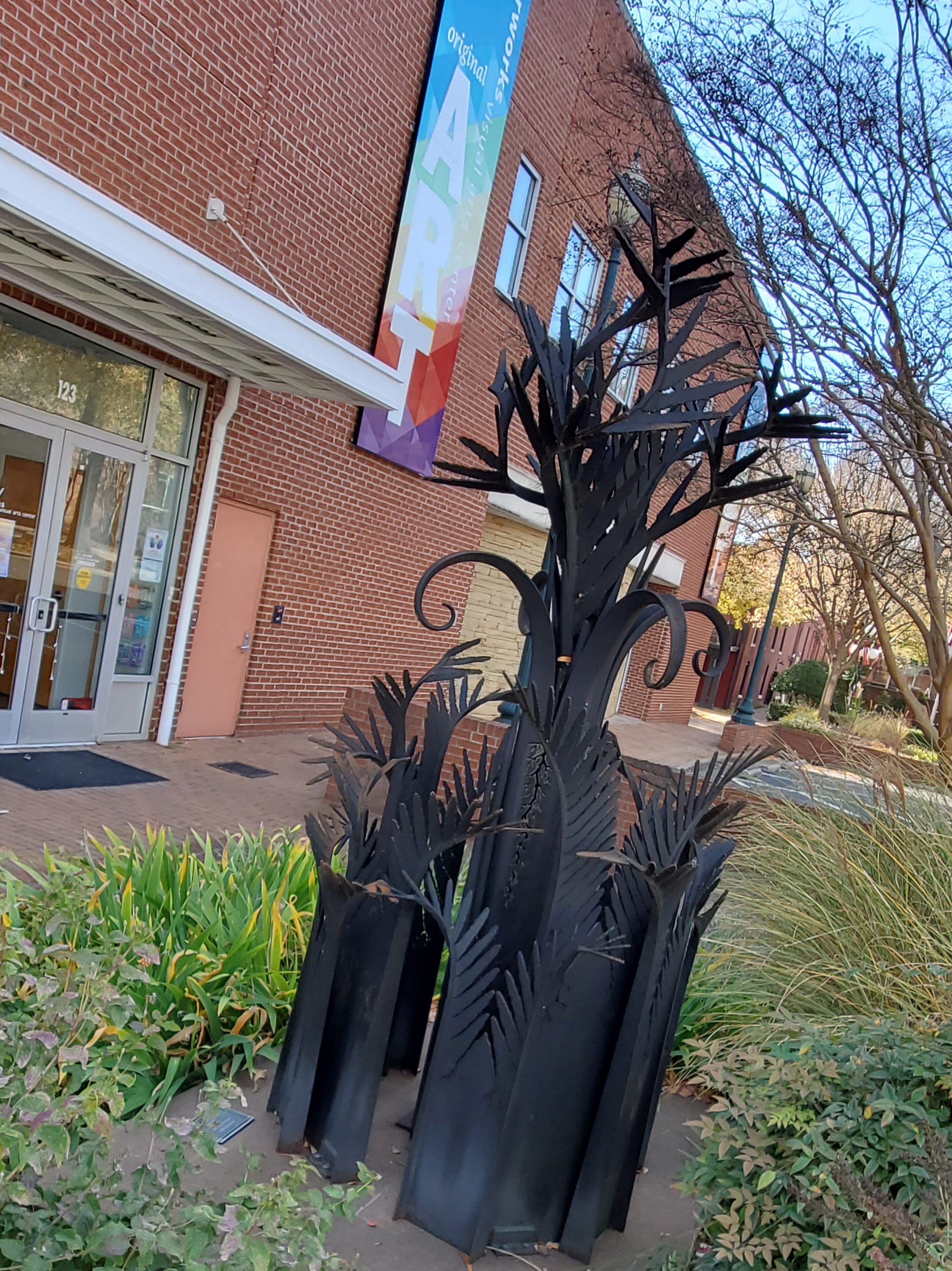
Waterworks Visual Arts Center
Waterworks Visual Arts Center (123 E. Liberty St.) is a non-profit 501(c)3, non-collecting art museum accredited by the American Alliance of Museums and provides diverse opportunities in the arts through exhibitions, education, and outreach programs. It is an exciting place where ideas, issues, and communities converge to expand traditional ways of thinking and explore the complex and unfolding patterns between artistic and cultural spheres. As a unique blend of education, inspiration, creativity, and fun, the Waterworks serves as the anchor organization for Salisbury’s East Square Cultural Arts District and is the only teaching museum within a 40-mile radius of Salisbury.
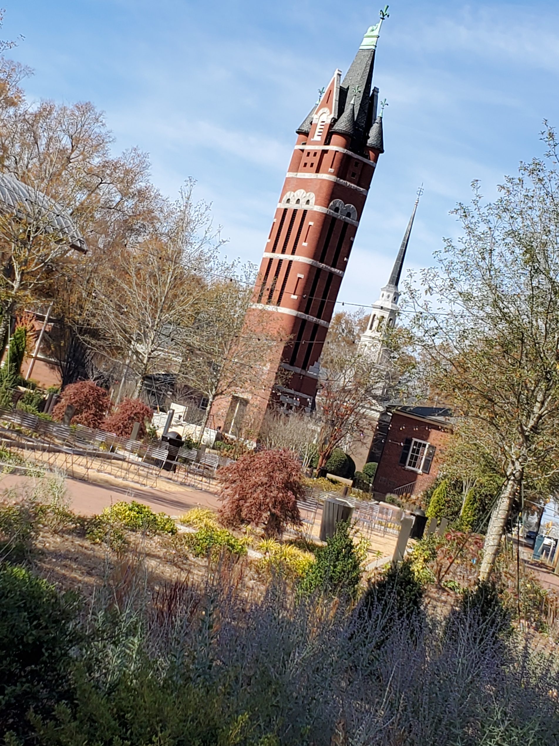
Bell Tower Green
Bell Tower Green at 115 S Jackson St. is a park which takes up most of the block bounded by Innes, Church, Fisher and Jackson Streets and named for the bell tower that was part of the former building of First Presbyterian Church. The green officially opened October 1, 2021 after more than two years of construction, funded primarily with more than $13 million in donations.

Wall Mural – Crossroads: Past Into Present
Found at 115 W. Fisher St., this multi-story wall mural is one of Salisbury and Rowan County’s most famous attractions. This mural painted by Salisbury native Cynvia Arthur Rankin features an original look at turn-of-the-century Downtown Salisbury. Discover more than 100 local citizens dressed in period costumes represented in the mural, which has appeared nationally on NBC and featured numerous times in area newspapers, national publications, magazines, and brochures.

Dan Nicholas Park
Fields, trails, picnic areas, and a petting zoo are the main attractions at this local park. Notably, several years ago the park zoo had a devastating fire, which claimed the lives of most of the treasured animals.
Granite Quarry, NC
Formerly named Woodsides, problems arose soon after the town’s incorporation with mail delivery, since there was already another town in North Carolina named Woodsides. Because of this, in 1902, the post office changed its name to Granite Quarry, after the stone quarried in the area. But the town’s name was not officially changed until February 5, 1905.

Old Stone House
In Granite Quarry, you’ll find the Old Stone House (770 Stone House Rd.), built in 1766 by German immigrant Michael Braun as symbol of his newfound prosperity. This German Colonial/Georgian house has been fully restored and can be toured Saturdays and Sundays from 1-4pm, April-November.
Faith, NC
Since 1946, the town has hosted a Fourth of July celebration that has become notably large for a town of its population – running for several days and drawing visitors from many states. The Faith Fourth achieved national visibility in 1992, when President George H. W. Bush not only made a speech praising small town virtues, but also participated in the traditional Fourth of July softball game and enjoyed Cheerwine with local residents. This annual celebration stretches over several days and is one of the largest Independence Day celebrations in North Carolina.
Local tradition says the town of Faith was named for a comment by newspaper writer John Thomas Wyatt, who settled on a rocky plot of land and opened a quarry. With no experience in the field he said he was building his quarry “on faith.”

Faith Soda Shop
Located just a few miles south of Salisbury (115 N. Main St), Faith Soda Shop is a must-stop while exploring Rowan County’s scenic byways.
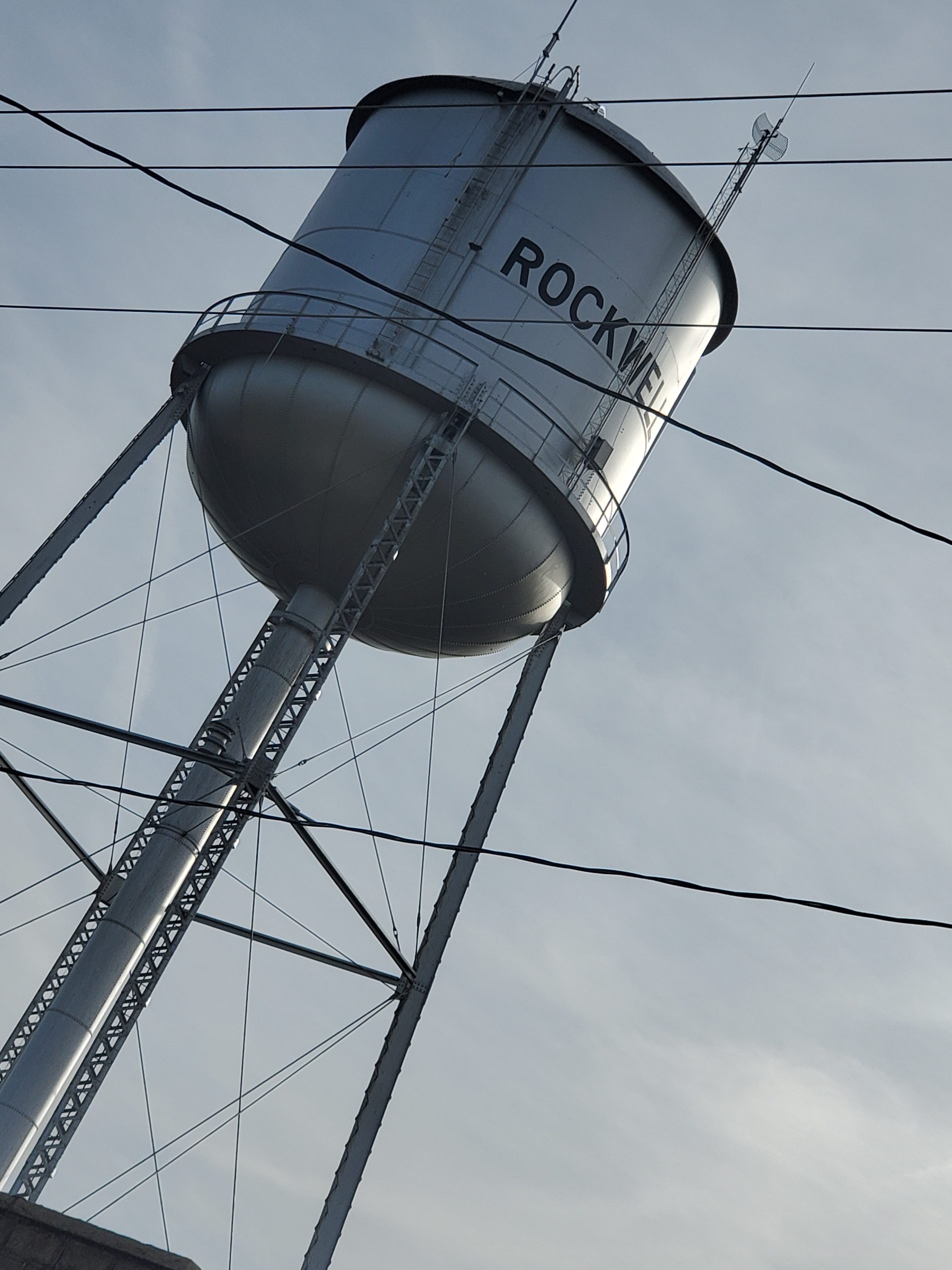
Rockwell
It is thought the town was named for a rock well located at a shady camping spot north of the present town limits at old Peter Miller farm. Travelers who stopped at the well to rest overnight marveled at the sweet water from the rock well. Most wells in the area had lumber curbing instead of rock curbing, and the lumber gave the water a certain taste, they said. There was a post office located at the rock well, and this was later moved to the town of Rockwell. Some historians have written that the town was earlier called Millville but the longtime Rockwell residents say this is incorrect. Millville was a settlement located at Heilig’s Pond near Lowerstone Church.
The railroad, completed in 1890, was a boost to the town, as was the location of the Salisbury-Albemarle Highway (U.S. 52) through town in 1925. J. W. Peeler, became stationmaster two months after the station opened. An ex-slave, Edmont Lindsey, was said to be the first person to board the train at the Rockwell station. He rode to Salisbury for 30 cents.
The town was incorporated in 1911, and George Peeler served as the first mayor. The Grace(Lower Stone) United Church of Christ and Organ Lutheran Church, located just a few miles from town, date to the 1700s and have graveyards adjoining the churches which have proved to be a treasure-trove of genealogical information. Five miles to the northwest is the Old Stone House built of native, hand-hewn granite by Michael Braun (Brown) from 1758 to 1766. It is known as the oldest German house in North Carolina and has been a popular tourist attraction since being restored by the Rowan Museum.
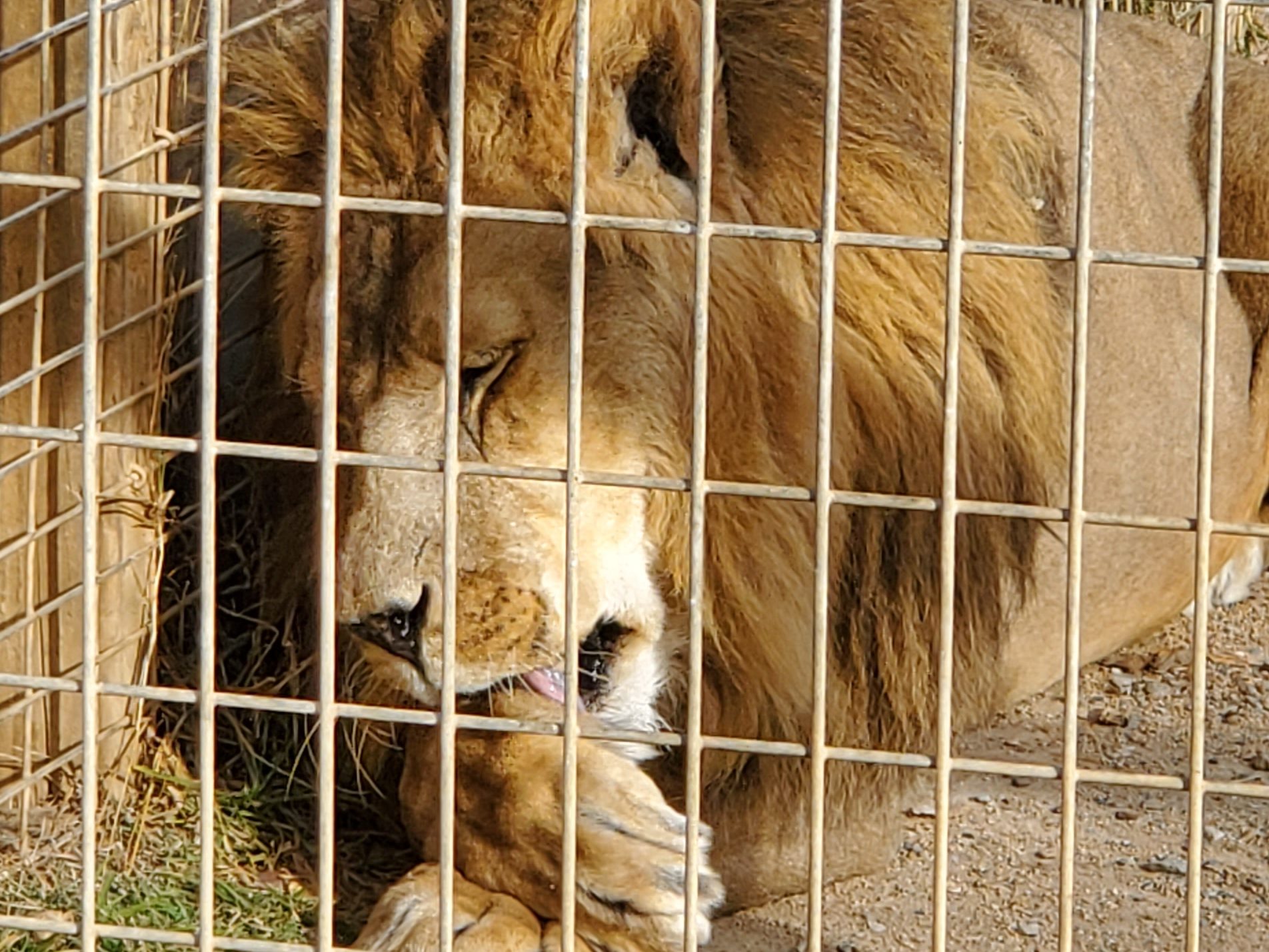
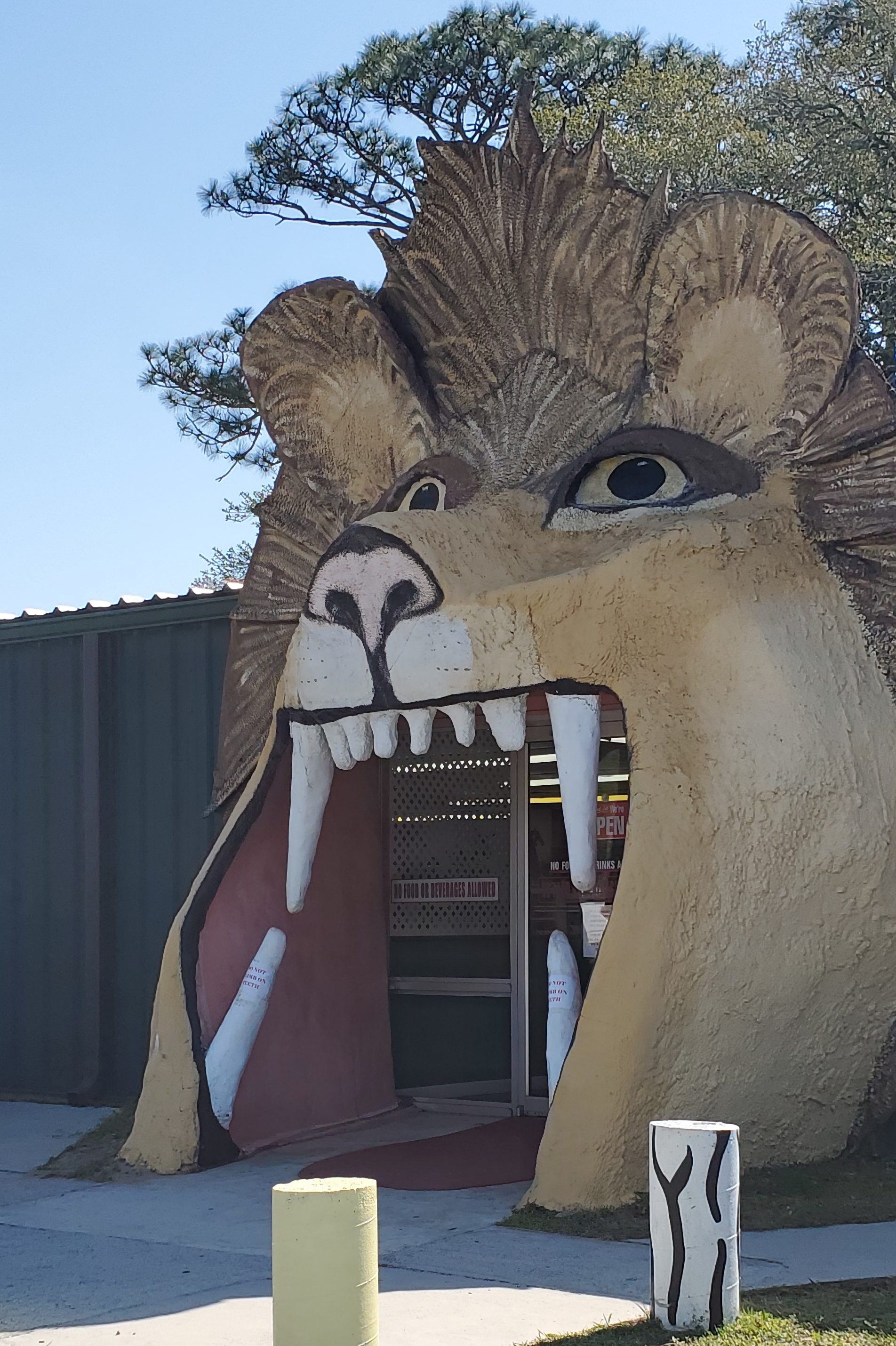
Tiger World
Established in 2008, this endangered wildlife preserve houses more than just tigers. You’ll find a large variety of exotic animals, including a lion, other wild cats, monkeys, kangaroos, exotic birds, wolves, sloths, bears, lemurs, reptiles, a liger, and more. Although the lion enclosures are comprised of two secure, tall chain link fences, I was able to get the closest ever to a live lion. Tiger World (4400 Cook Rd.) is open for touring and holds educational events all year. Admission is $15.

Historic Rockwell Museum
The Historic Rockwell Museum (105 E. Main St.)was organized in 1996 by local citizens who volunteered time, labor, and money to preserve this important historic landmark. This building, which once housed Rockwell’s second Post Office, has been restored as a museum to preserve and display the records, memorabilia, and artifacts of Rockwell’s early years.

Gold Hill
The restored gold mining town of Gold Hill and Gold Hill Mines Historic Park invite visitors to step back in time. Come out and experience the simple life. The wood sidewalks are reminiscent of the Old West; but, in fact, Gold Hill, North Carolina, was a well-established gold mining boom town by the early 1840s. This was almost a decade before the gold strike at Sutter’s Mill in California. Gold Hill had a bustling main street that spanned a mile in its day. The town boasted of at least 16 merchants, 23 saloons, and about six brothels. The town had two hotels, a boarding house and a two-story mining office. It was a town of which, even the mayor of Charlotte, NC, was envious. He made newspaper headlines when he commented that he had hopes that “Charlotte will one day be as big and prosperous as Gold Hill.”
The first discovery of gold at Gold Hill was in 1824. In 1843, the town was incorporated. A formal ‘town’ meeting was held and Col. George Barnhardt, son-in-law of John Reed (Reed Gold Mine, NC State Historic Site), was chosen as the first mayor. Under his management, the Barnhardt Gold Mine at a depth of 435 feet was becoming the largest producer of gold in the South. The Earnhardt/Randolph Gold Mine reached an eventual depth of 850 feet. Between the two mines alone, they produced a wealth of gold valued at $7-9 million dollars prior to the California gold strike. The news of the California strike didn’t stop production of gold on the eastern front. The gold mines in North Carolina continued to prosper and lead the way in gold production until the beginning of the Civil War.
By the 1880s, “The New Gold Hill Ltd. Mining Co.” was established in London, England. The company purchased holdings at Gold Hill and produced equal amounts of gold for another 20 years at considerable profits. The Gold Hill mines ceased production by 1915. Explorations were made again in 1950, but at that time proved to be too costly.
Today, the Barnhardt Gold Mine and the Randolph Gold Mine are two of four gold mines located in the restored gold mining town. They’re located in the 70-acre Gold Hill Mines Historic Park. The Historic Gold Hill and Mines Foundation, Inc., a nonprofit organization, was formed in 1992. The mission was to restore and preserve the mining property as a park for the community. The Gold Hill Rail Trail (the railroad corridor right-of-way through the park, which extends into Cabarrus County) was developed in 2005 as a partnership with Land Trust of Central North Carolina / Three Rivers Land Trust. The trail was added as an additional hiking venture through Gold Hill Mines Historic Park.
The town of Gold Hill today is a small shopping village with a quaint collection of retail shops and a restaurant. Wooden sidewalks connect the shops throughout town. Only two original stores remain standing today. Mauney’s 1840 Store and the E.H. Montgomery General Store, both built around 1840, continue to serve as anchors to history in the community. The Gold Hill Historic Preservation Society, Inc. was formed in 1993. It’s mission is to preserve the original buildings and rescue and restore additional buildings to recreate the town of Gold Hill.
Chilean Ore Mill
Gold mining on the family farm involved everyone in the family. Women and young girls would often work to separate the gold ore after it had been crushed by the Ore Mill. The nineteenth century Chilean Ore Mill (770 St. Stephens Church Rd.) was used to crush gold bearing ore to aid in gold recovery. It is thought to be the only remaining complete mill with all original working gears in the U.S. This same mill was in operation in Gold Hill from 1840-1900. Originally owned by the Shafer family of Gold Hill, it was donated to the Historic Gold Hill and Mines Foundation, Inc. and moved to the park in 1992.
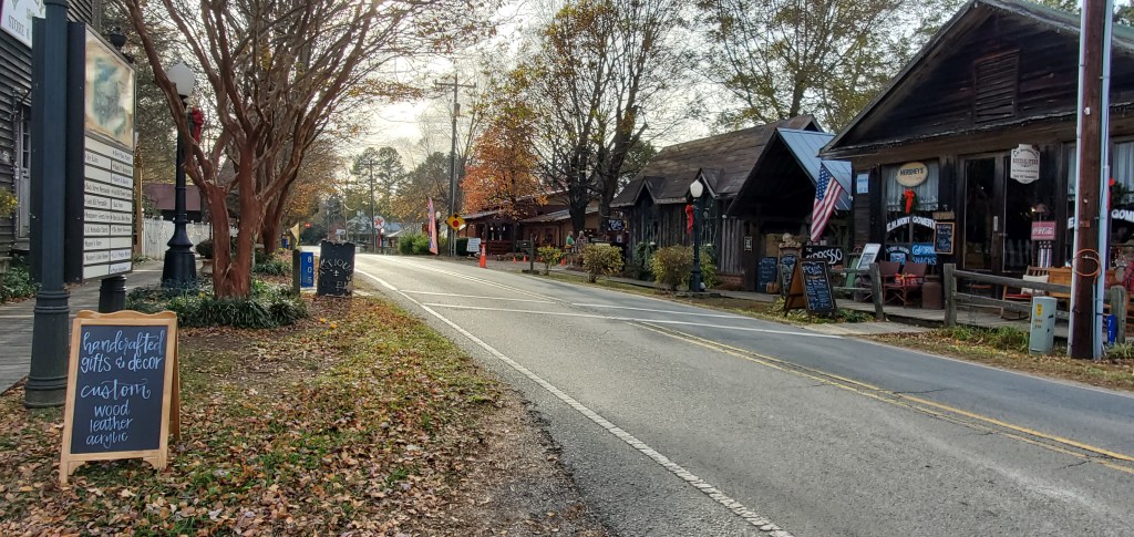
Shopping Village
This shopping village is a must-see North Carolina gem. The grouping of wooden buildings, including some original structures, creates a gloriously quaint shopping village (1035 Back St.). You’ll find rows of street-side buildings along what once was a dirt road, along with a second back row of buildings as well as a restaurant and lodging. Spend a few hours her perusing through the shops for antiques, artisan and jewelry creations, original art, apparel, and more. Chat with the shopkeepers while you’re there, and you’re sure to get a good bit of a history lesson about the area. You can check in at the Montgomery General Store for a trail guide brochure before heading out on the Gold Hill Rail Trail.
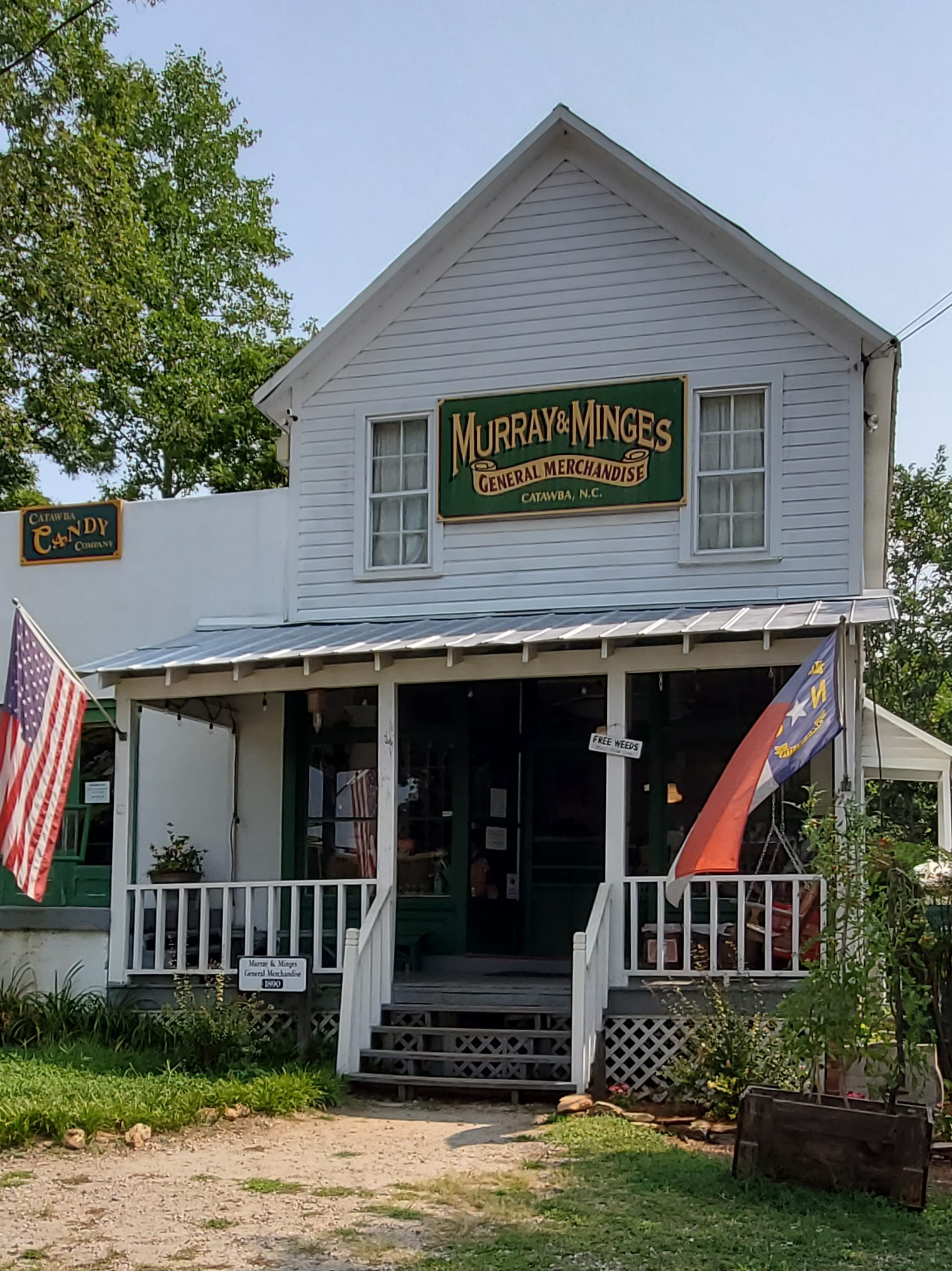
China Grove
China Grove’s name is derived from a grove of chinaberry trees that was located next to the old train depot. The China Grove depot, dismantled in 1974, was located on Harris Street just behind Hanna Park. The grove provided welcomed shade for both travelers and their horses, especially during hot summer days. Until about 1920, there were remnants of this grove, but the few surviving trees died from the traffic that was created by the old depot. The town applied to the North Carolina Legislature for a charter, which was granted on March 11, 1889. It is assumed there was a settlement here in China Grove as early as 1710. The town was first known as Savits Mill. Then, in 1846, the name was changed to Lutherville; but in 1849, it was given the name as we know it now: China Grove.
In 1896, following the initiatives of William L. Wilson, Postmaster General of the United States, North Carolina developed a Rural Free Delivery (RFD) route for mail. Postal service via RFD included the delivery of all postal items, free of charge, to citizens at their homes, eliminating the need to visit the local post office. Following Mr. Wilson’s proposal and under the direction of Postmaster, J. Bruner Goodnight, China Grove established the first Rural Free Delivery route in North Carolina on October 23, 1896. It was only the second RFD made in the United States. A routine task today, in 1896 Mr. Goodnight was taking part in an experiment which would launch the postal service on the biggest endeavor in its history and help change the life of rural America.
In 2016, the Town of China Grove was honored to be ranked one of the 20 safest cities in the state of North Carolina, according to SafeWise, a security systems company which ranked the top 100 safest cities in the state. Gary Chapman, best-selling author of The Five Love Languages, is from here.

China Grove Roller Mill
Local entrepreneurs built this roller mill (308 North Main St.) in 1903 to mechanize grain grinding. The mill, located directly beside an active railroad track, is open limited hours from April-November.
Next trip… Davie County!