If you love coastal communities, New Hanover County has the idyllic combination of seaside village beaches plus the city perks of nearby Wilmington–all rolled into the second-smallest county in North Carolina (by land area, behind only Chowan County). New Hanover County totals 328 square mmiles, of which 191.37 square miles of land area and 136.67 square miles of water area, which consists of inlets, intracoastal waterways, marshes, and the Cape Fear River and its tributaries. You can’t go far without a view of the water.
Named for the House of Hanover, a German royal family that ruled Great Britain at the time, New Hanover County was created in 1729 as New Hanover Precinct of Bath County and became a county in 1739. Eventually parts of New Hannover County were broken off into other counties: Duplin, Onslow, Bladen, Brunswick, and Pender. The county was originally developed as plantations, mostly to cultivate tobacco and other crops by enslaved African-Americans. And by 1860, the majority population was black.
New Hanover County played a tremendous role in Civil War battles, including the second battle of Fort Fisher (the last coastal stronghold of the Confederacy) and the Battle of Wilmington. New Hanover County’s history also holds the Wilmington Insurrection of 1898 (planned by a group of 9 conspirators), in which a duly elected bi-racial government was overthrown. Mobs then rioted and attacked the city’s black neighborhoods and businesses. Altogether between 60 to 300 African-Americans were estimated to have been killed.
The most notable people hailing from this New Hanover County are basketball players Michael Jordan (Chicago Bulls and Washington Wizards) and Meadowlark Lemon of the entertaining Harlem Globetrotters.
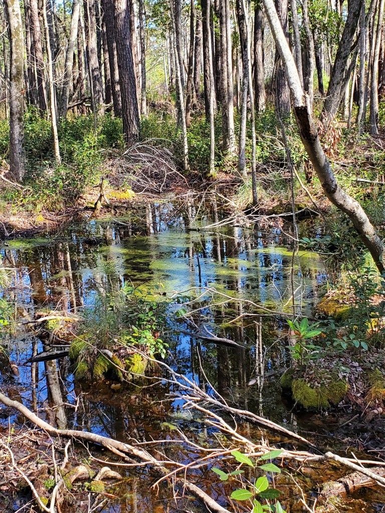
Castle Hayne, NC
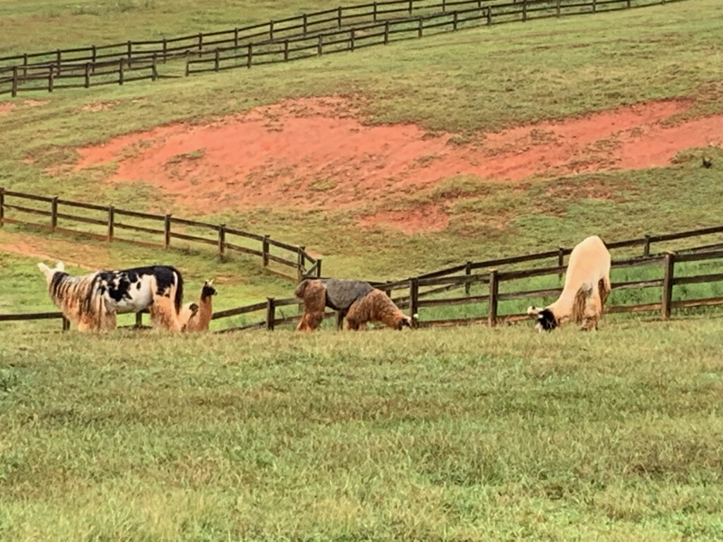
Castle Hayne takes its name from the large house of Captain Roger Haynes, which was located in the area. Naval stores and lumber were the greatest source of revenue in this region. In fact, North Carolina’s greatest commodity was the longleaf pine, which provided pine, tar, and pitch for trade and sale. Hence, NC became the Tarheel State. During the Revolutionary War, the British maintained a garrison at Fort Johnson near Wilmington. After crippling losses at Guilford Courthouse (in Guilford County), British troops withdrew back to Fort Johnson and abandoned plans to occupy the state.

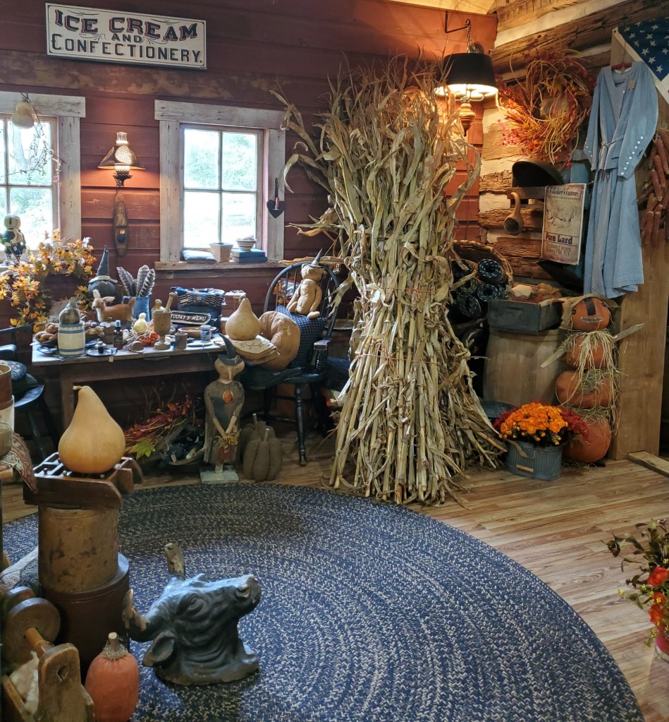
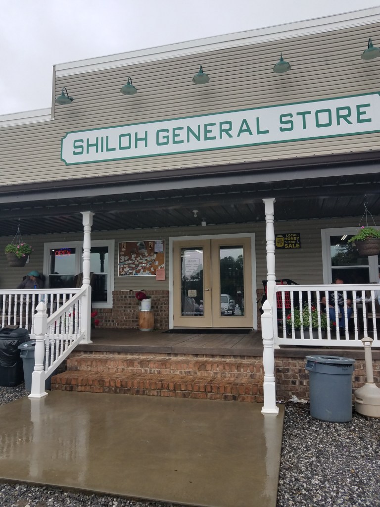
The General Store at River Bluffs
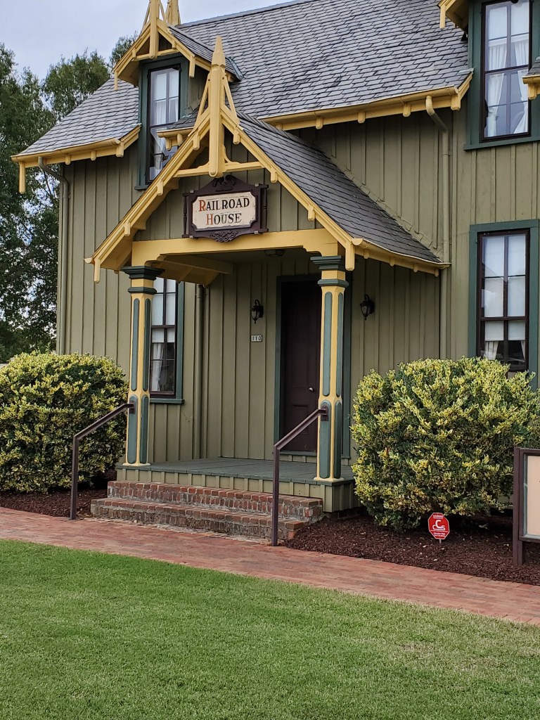
I loved happening upon this little treasured stop in Castle Hayne. You’ll find The General Store at River Bluffs nestled in the quiet River Bluffs community, but they do allow outsiders to stop in for a treat and a rest. You’ll find baked goods, locally sourced produce, locally roasted coffee, NC gourmet items, ice cream, candy, beer, wine, and more. Treat yourself to an ice cream cone or a bacon-topped donut while you’re there!
South and east of Castle Hayne, you’ll find a number of small towns: Skippers Corner, Wrightsboro, Hightsville, Ogden, Kings Grant, Murrayville, Kirkland (also known as Porters Neck), and Bayshore.
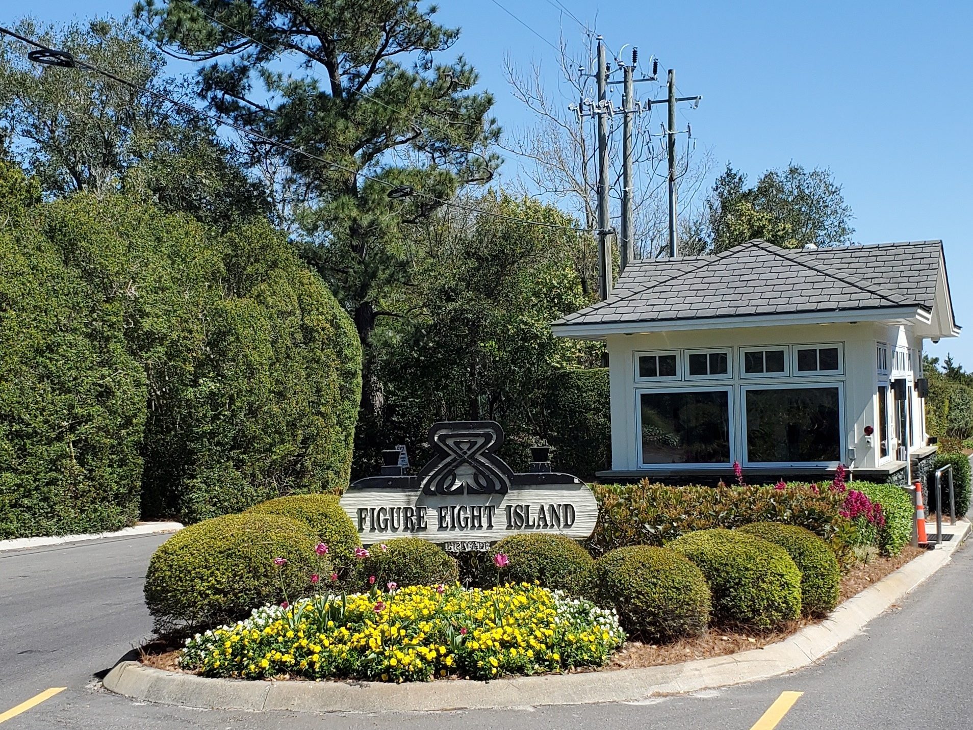
Figure Eight Island
I hate to disappoint you, but this entire island is an affluent, private, gated community. And you can’t cross the bridge unless you are a resident, have been invited or have rented a home on the island. Figure Eight Island is a barrier island just north of Wrightsville Beach. The island itself is 100% residential (about 475 homes) with nary a business. About 90% are second homes and fewer than 100 are rentals. Here’s a little synopsis of this island’s interesting history:
Figure Eight Island was originally part of a royal tract of land given to James Moore in 1762, then passed to Cornelius Harnett (a signer of the Declaration of Independence) in 1775, on the eve of the American Revolution. Harnett held the property for 20 years before selling it at auction to the Foy family, who owned it for the next approximately 160 years.
After Hurricane Hazel in 1954, brothers, Dan (mayor of Wilmington) and Bruce Cameron purchased the island from the Hutaff and Foy families for just $100,000 to create a private vacation destination. The island remained dormant for about 10 years. Then a $150,000 bridge was built on top of a government surplus landing ship tank, which was eventually replaced with today’s $1.5 million bridge in 1980 (actually second-hand from Port Royal, Virginia).
The island garnered attention in the 1980s and 1990s, when celebrities flocked to the destination for private vacations. The island has hosted the likes of Dustin Hoffman, Gene Hackman, Debra Winger, Nick Nolte, Kim Basinger, Alec Baldwin, Al and Tipper Gore, and many more. The first lots on the island sold for as little as $5,000. Today, the average home on the island fetches $2 million.
Another interesting historical fact: In August 1974, a smuggling ring of 15 people on the island (operated by an attorney who had rented two homes on the island) was indicted for smuggling 14,000 pounds of marijuana from Columbia to Figure Eight Island.
Wrightsville Beach
Incorporated in 1899, Wrightsville Beach was named for local realtor Joshua G. Wright and the Wright family of Wilmington. Here, you’ll find the Carolina Yacht club, the second oldest in America, founded by seven local men. Among the deep history of this area were the areas original streetcars and the Lumina Pavilion (no longer standing) that attracted the well-to-do from far inland points of North Carolina and beyond for food, dancing, socializing, games, and entertainment, including the Big Bands of the 1930s and 1940s. It was said that the 6,000 exterior lights on the Lumina Pavilion were so bright that ships at sea would use it as a guidepost. In 1913, they added a movie screen in the surf for silent films. After its heyday, the building later became a skating alley and a bar before it closed in 1972, then condemned and torn down in 1973.
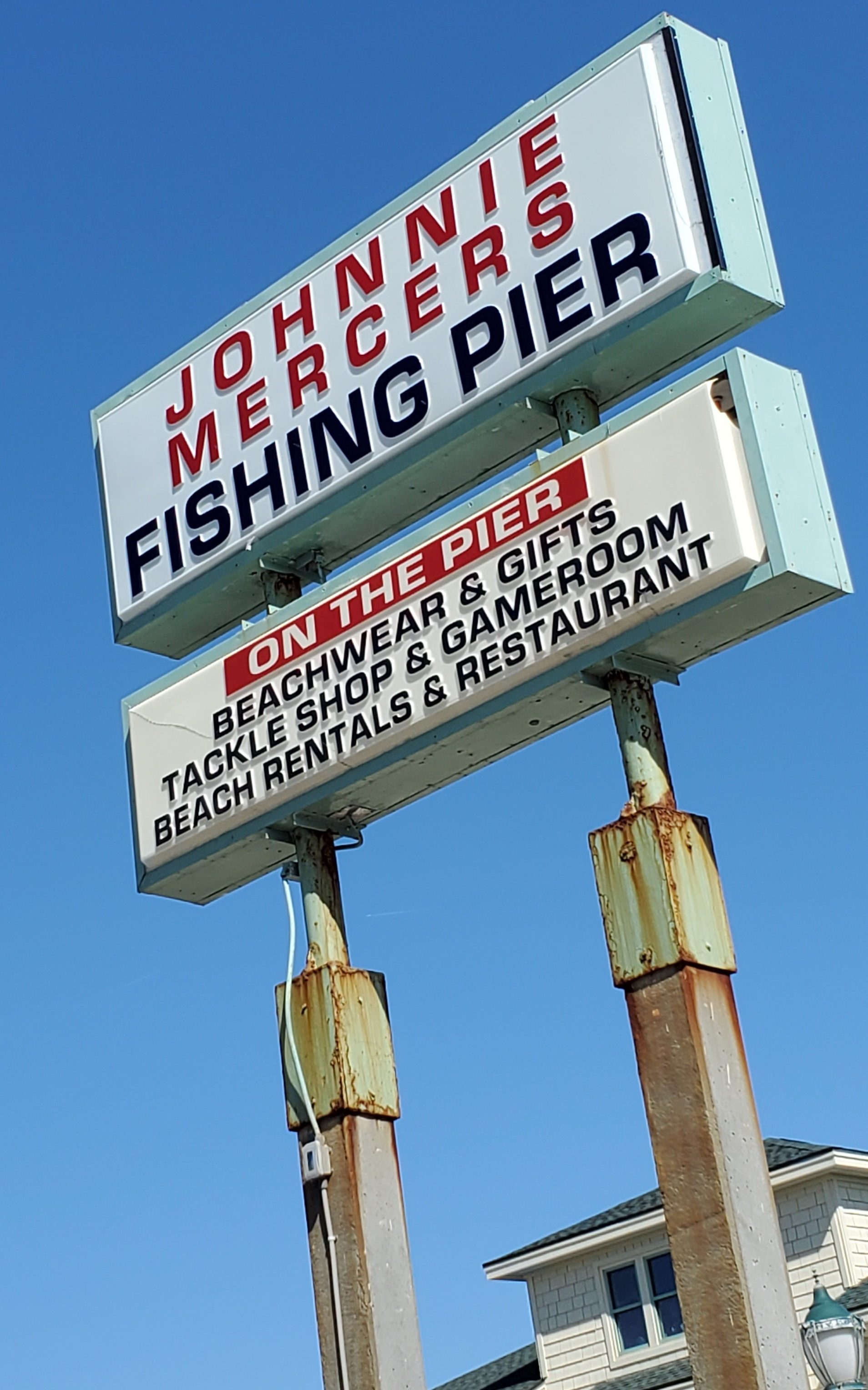
In 1937, North Carolina’s third pier was built here and named the Ocean View Pier. Two years later, Johnnie Mercer bought the pier and it was renamed for him as Johnnie Mercer’s Pier. Battered by numerous hurricanes throughout the decades, it was deemed beyond repair and closed from 1996-2002, when it reopened as the bridge we know today with reinforced concrete piers. A second pier was built in 1938 named the Mira Mar Fishing Pier, constructed on top a Confederate blockade runner that ran aground during the Civil War, creating a natural reef. Today, it houses the beach’s most famous restaurant, The Oceanic.
Hurricanes have ravaged the island over the years causing extensive damage, wiping some cottages off the beach, and destroying the Carolina Yacht Club in 1899 when it had to be completely rebuilt.
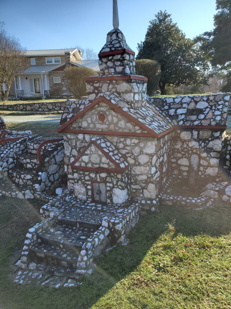
At Wrightsville Beach, you can enjoy a day at the beach and seaside shopping. Stay at a rental cottage or at the popular Blockade Runner Resort. Inland, you’ll find delightful shopping at the Lumina Pavilion, water views Wrightsville Beach Park, and a little coastal education at the Wrightsville Beach Museum of History (See the circa 1910 scale model of Wrightsville Beach.) and the Fred and Alice Stanback Coastal Education Center. Both have limited weekday hours.
Pleasure Island
Pleasure Island is comprised of three island communities: Carolina Beach, Kure Beach, and Fort Fisher.
Carolina Beach
On the way to Carolina Beach, you’ll drive through coastal communities of Silver Lake, Myrtle Grove, Monkey Junction, and Sea Breeze. Carolina Beach may best be described as the perfect combination of seaside living plus entertainment and recreation, with only two smaller-scale, high-rise hotels on the island. The town was virtually wiped off the map by Hurricane Hazel in 1954, which destroyed 362 buildings.
Carolina Beach’s Boardwalk is central to the daytime and nighttime activity. Walk around the local shops, enjoy nightly seasonal entertainment, carnival rides and games by day and night, and fireworks on Thursday nights in the summer. Be sure to stop by for some famous Britt’s Donuts and milk. (Don’t get spooked by the line. It moves very quickly–and the donuts are soooo worth it.) On Saturday mornings, you’ll find a local artisan and produce market set up at Carolina Beach Lake on Lake Park Blvd.
Some other local spots to hit include Havana’s Restaurant, Deck House, The Nikki’s Gourmet Sushi, Kate’s Pancake House, The Fork ‘n Cork–Carolina Beach (The Wilmington location was featured in Diners, Drive-ins & Dives.), Soul Flavor, Michelangelo’s Pizza, Wake ‘n Bake (gourmet donuts), and many other island favorites. You’ll also want to stop at the Veggie Wagon for fresh produce, natural foods, North Carolina gourmet items, and more. The Celtic Creamery is an ice cream hot spot on the island, which also includes a gift shop.
The low-lying north end of the island is sandwiched tightly between the ocean and the intracoastal. Here you’ll find a few popular island restaurants such as the SeaWitch Cafe & Tiki Bar and Stoked as well as Hamilton Park, a drive-on beach.
While at Carolina Beach, you can take surf lessons with Tony Silvagni’s Surf School (legendary, North American champion and top world-ranked longboard surfer) as well as learn to or rent a paddleboard, kayak out to Shark’s Tooth Island (shark teeth aplenty to be found here… bring a baggie to collect them) and Zeke’s Island. You can also rent beach chairs and umbrellas and fat tire bikes to ride around the island. Just over Snow’s Cut bridge, you’ll find North End Jet Ski Rental to jet ski on the Intracoastal waterway/Snow’s Cut.
While here, take some time to hike through Carolina Beach State Park, where you will find trails (including Flytrap Trail with native Venus fly traps), camping, and a boat dock at the water’s end of the park. You can also walk, run or bike the new Carolina Beach Greenway.

Kure Beach
Past Carolina Beach, you’ll drive through quieter Kure Beach, named for a family of settlers, with lots of nestled communities and a small handful of businesses and restaurants. Drive past Rainbow Row, a row of colorful seaside 3-story rentals. Kure Beach has a pier as well as a weekend (just Saturdays?) crafter’s fair at the Ocean Front Park & Pavilion. Built in 1923, the Kure Beach Fishing Pier is one of the oldest on the Atlantic Coast. It’s been rebuilt and restored several times due to storms and wear and tear.

Fort Fisher
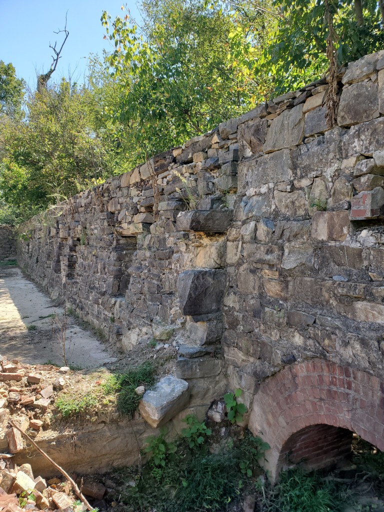
Just a little further down the road, you will hit Fort Fisher, noted for it’s majestic live oaks, seaside brush, rocky knolls at Fort Fisher State Park (less-trafficked beaches), Fort Fisher Aquarium, and Fort Fisher Historic State Sight. No restaurants or shops down at this end. Fort Fisher was a Confederate fort during the American Civil War that protected the vital trading routes of the port of Wilmington from 1861 until its capture by the Union in 1865. The fort is located on one of Cape Fear River’s two outlets to the Atlantic Ocean on what was then known as Federal Point or Confederate Point and today is known as Pleasure Island. The battle of Fort Fisher was the most decisive battle of the Civil War fought in North Carolina.
Ride all the way to the island to see an outlook toward Zeke’s Island, a former Civil War battery and now a great place to kayak. From Fort Fisher, you can also take the Fort Fisher-Southport Ferry to Southport, NC, in Brunswick County. It’s a delightful and quick 30-minute ferry ride where you may spot a pod of dolphins along the way. Once moving, you can exit your car and walk about the boat or pass the time in the air-conditioned upstairs cabin. Once in Southport, you can spend the day perusing this quaint area with many local shops and eateries, including Fishy Fishy and Frying Pan Shoals (named for the famous Fryin Pan Shoals tower) that sits about 30 miles offshore with a live camera often viewed to see the effects of Hurricanes coming ashore.
And from Southport, you can take another short (walk-on) ferry ride out to Bald Head Island and do some exploring there.
Look for the city of Wilmington featured in a separate post.
Next county: Moore County!