Bertie County was first formed as Bertie Precinct in 1722 from the part of Chowan Precinct of Albemarle County lying west of the Chowan River. It was named for James Bertie, his brother Henry Bertie, or perhaps both, each having been one of the Lords Proprietors of Carolina.
In 1729 parts of Bertie Precinct, Chowan Precinct, Currituck Precinct, and Pasquotank Precinct of Albemarle County were combined to form Tyrrell Precinct. With the abolition of Albemarle County in 1739, all of its constituent precincts became separate counties. As population of settlers increased, in 1741 parts of Bertie County were organized as Edgecombe County and Northampton County. Finally, in 1759 parts of Bertie, Chowan, and Northampton counties were combined to form Hertford County. Bertie’s boundaries have remained the same since then.
This mostly rural county depended on an agricultural economy well into the 20th century. In the colonial and antebellum eras, tobacco and cotton were the chief commodity crops, worked by both Indian and African slaves. After the Civil War, agriculture continued to be important to the county.
Merry Hill
Merry Hill is a rural unincorporated community located in Merry Hill Township. Salmon Creek twists and turns through the wooded area of Merry Hill and opens up to the Albemarle Sound. This is known as the Mouth of Salmon Creek. Scotch Hall Preserve in Merry Hill, built in 2009, overlooks the Mouth of Salmon Creek and was designed by retired professional golfer Arnold Palmer.
Most of the history took place in the southern part of Merry Hill known as Avoca. Avoca is Indian for “Meeting of the waters.” The Merry Hill area is comprised of land between Black Walnut Swamp and the mouth of Salmon Creek.
In May 2012, the British Museum in London discovered evidence that the famed Lost Colony was planned to move to a fort in Avoca. Horse racing took place here and many years later this sport was one of the annual social events. There are many old pecan trees planted in the 19th century that still survive in the area.
Colerain
Colerain, North Carolina, was named after Coleraine in Ireland. On April 16, 2011, the western side of the town was hit by an EF3 tornado that killed 12 people and caused extensive damage.
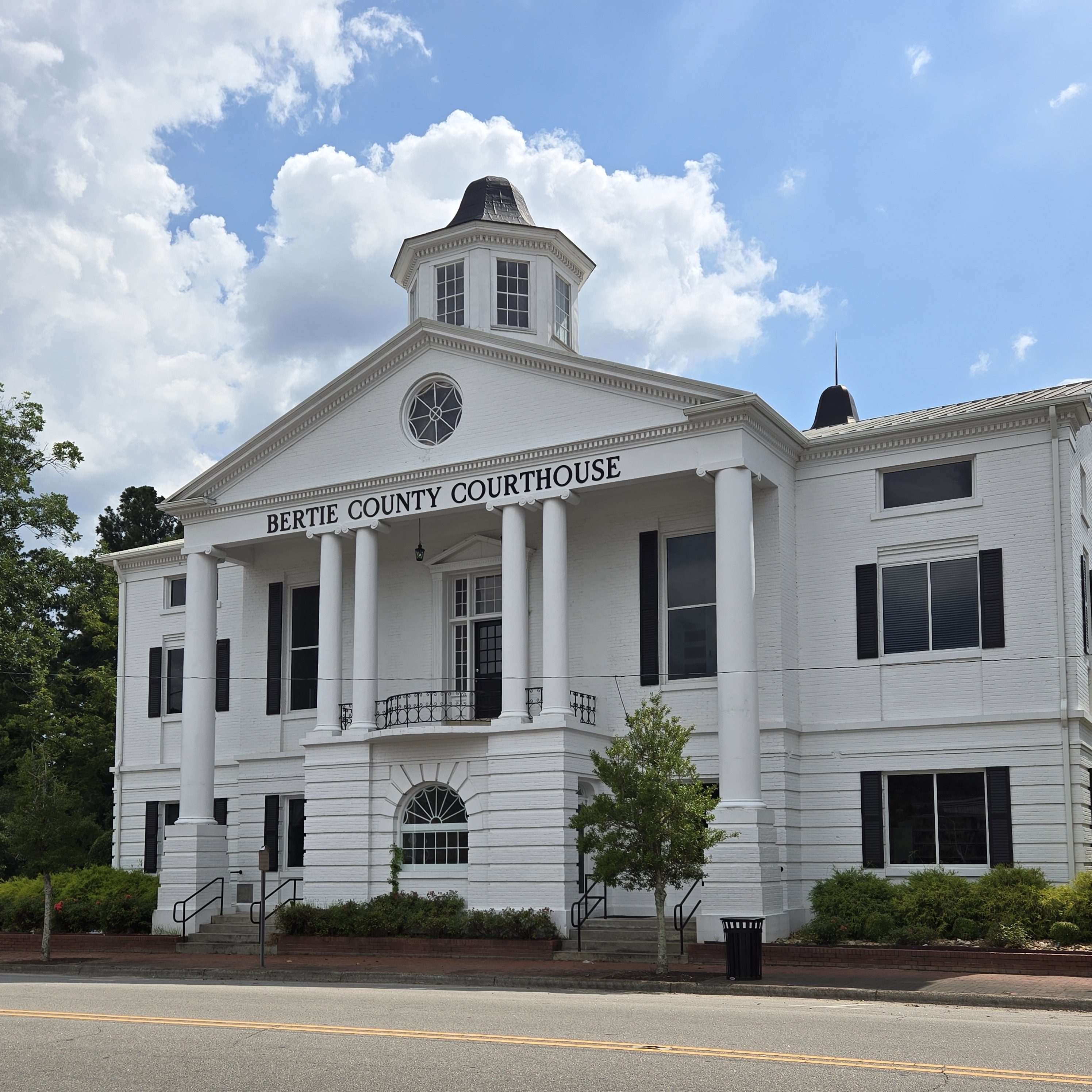
Windsor
Windsor is the county seat of Bertie County. The land was historically the home of the Tuscarora people. Today, there are Tuscarora residents living in the village of Tandequemuc, now called Merry Hill.
In the early morning hours of August 4, 2020, an EF3 tornado spawned by Hurricane Isaias struck areas just outside of Windsor. The twister destroyed 12 mobile homes within a mobile home park outside of town, and flattened another poorly built house. The tornado killed 2 people and injured 14 others. The tornado was the strongest tropical cyclone-spawned tornado since 2005.
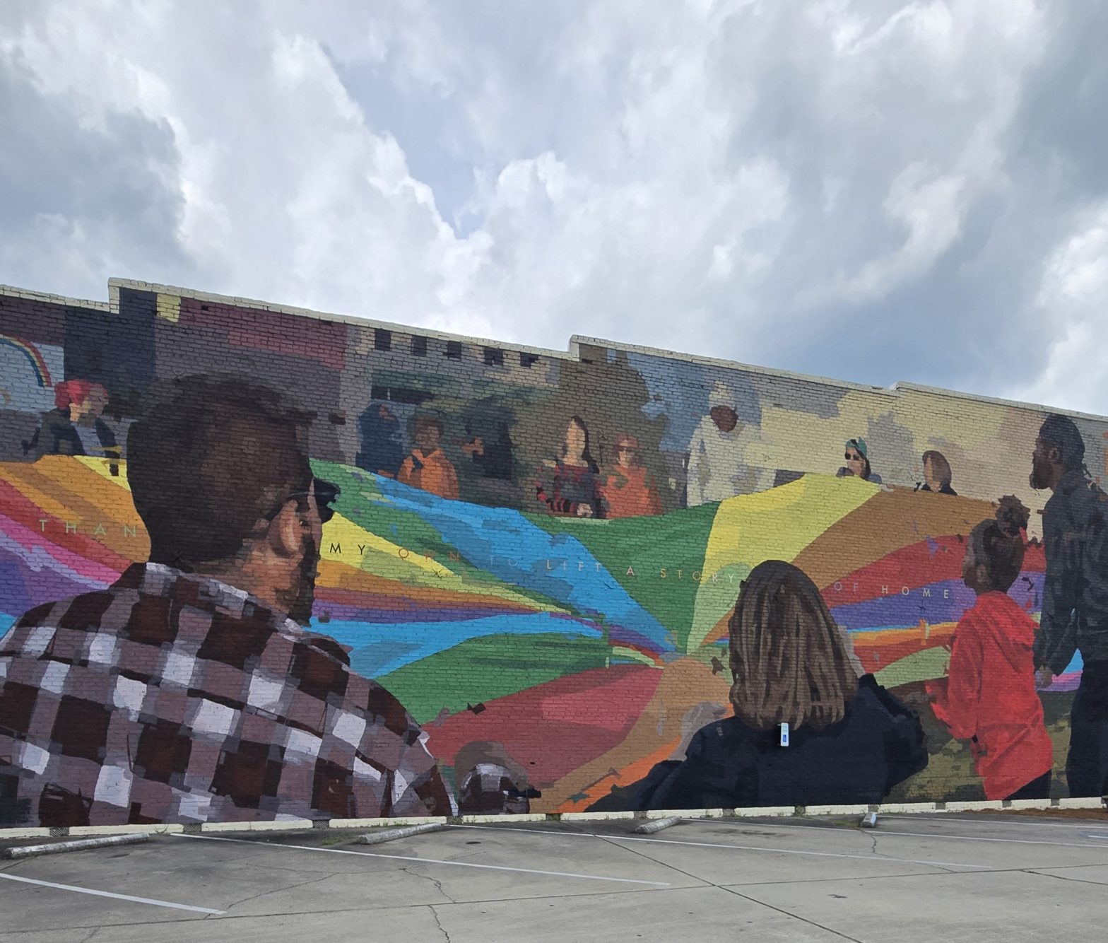
While in Windsor, be sure to check out the various murals, including one large mural called ‘Lift,’ as well as Artisan’s Alley, located adjacent to 122 S. King St.
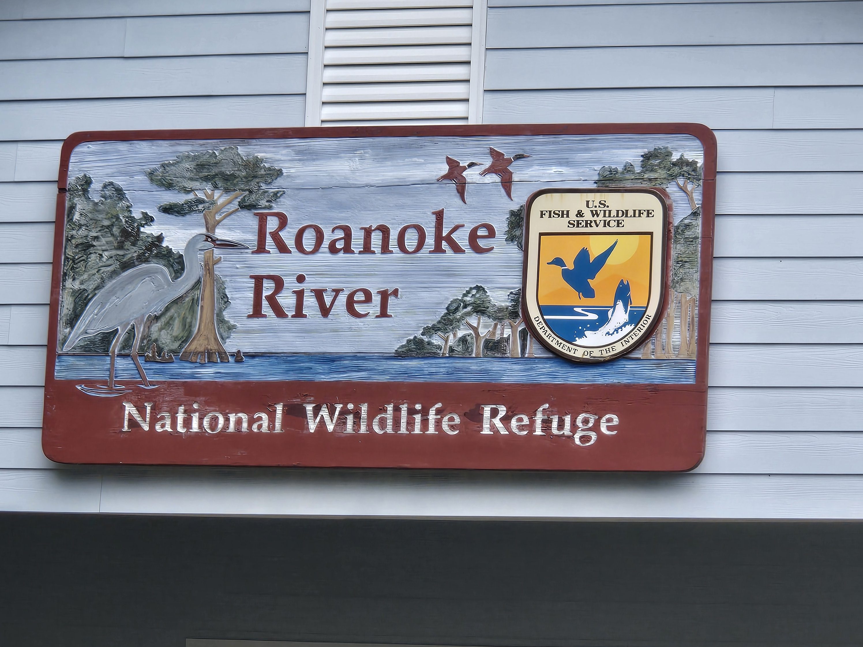
Roanoke River National Wildlife Refuge/Roanoke/Cashie River Center
112 and 114 West Water Street
Livermon Park & Mini Zoo
103 N York St, Windsor
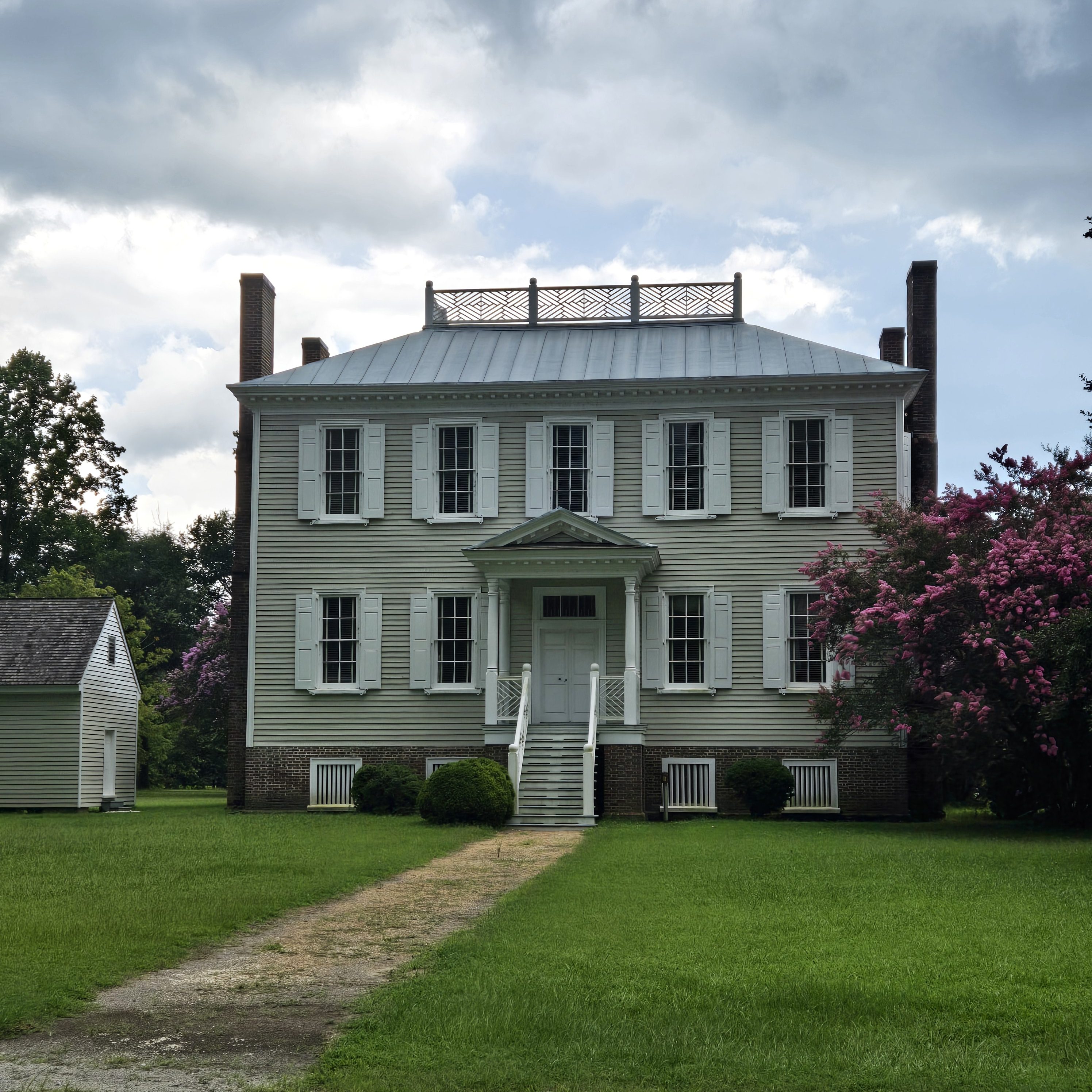
Historic Hope Plantation
132 Hope House Rd
Lewiston Woodville
Lewiston was named for an early settler, and formed from the formerly separate towns of Lewiston and Woodville that merged on July 1, 1981. Lewiston Woodville is also the location of Perdue Farms, one of the largest chicken-producing companies in North Carolina.
Roxobel
Roxobel, a town in northwestern Bertie County, dates to 1724 and was originally known as Cotten’s Cross Roads. After several name changes, it has remained Roxobel since 1849.
Around 1815 William Britton, a successful merchant and farmer from Petersburg, Virginia, moved into the area and purchased the general store. By 1819 he had taken over the post office. The town then became known as Britton’s Store or Britton’s Cross Roads. This name was considered by the post office to be too similar to Britton’s Neck in South Carolina and so in December 1847 the town was renamed Roxobel after Mary Martha Sherwood’s popular 1831 novel Roxobel.
By 1830, the Roanoke River had been made navigable for steamboats and with the small landing stage of Norfleet’s Ferry just two miles south of Roxobel, which spurred the town’s growth as a trading center. Roxobel became connected by rail when the Roanoke and Tar Railroad was opened in 1888 and this brought renewed prosperity to the town.
In 1943 a tornado ripped through Roxobel, killing six inhabitants and causing massive damage. Twenty-five homes and 12 store buildings were completely destroyed and the Methodist church was lifted several hundred feet into the air and smashed to the ground. Around 50 other buildings were badly damaged. Later tornadoes in 1984 and 1988 caused similar destruction.
Next stop… Columbus County!
